
Redeveloping the former I-277 Right-of-Way
About the Project
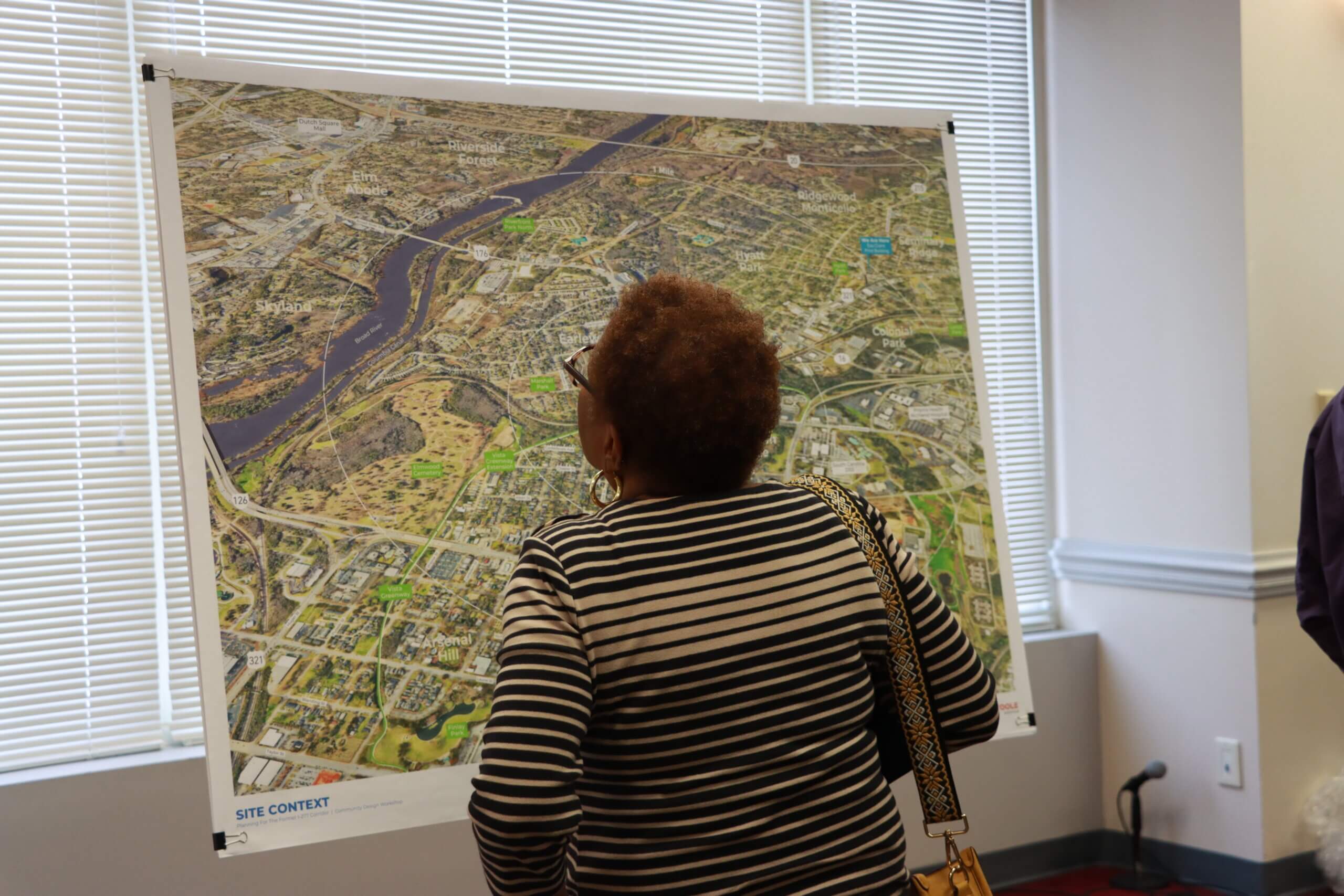
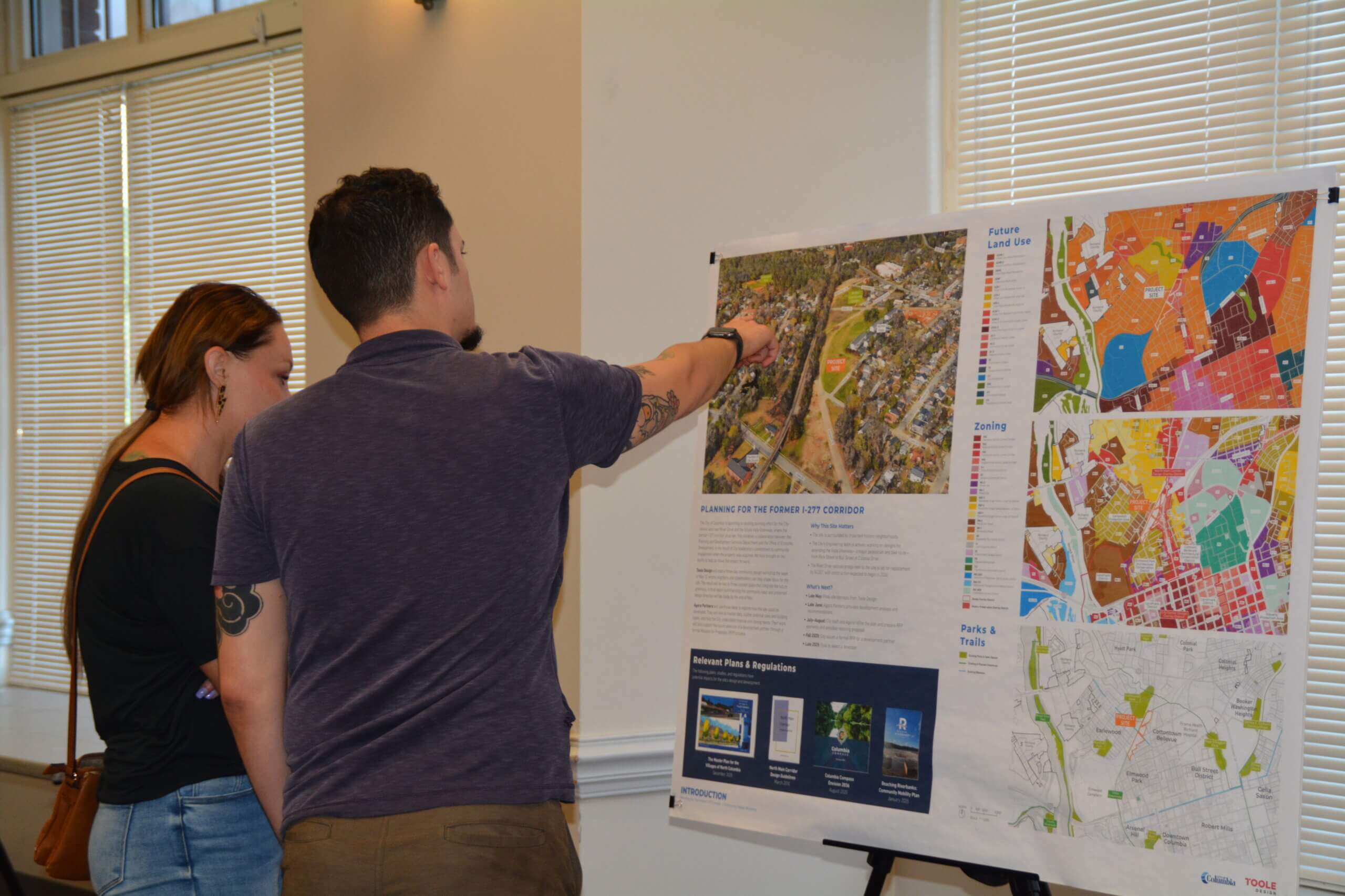
This exciting planning effort for City-owned land near River Drive and the future Vista Greenway, where the former I-277 corridor once ran, is part of a broader effort to ensure that future property development is reflective of the community’s vision and best practices. The City recently acquired the property from SCDOT, and plans to eventually partner with a private developer to catalyze the property and extend the greenway.
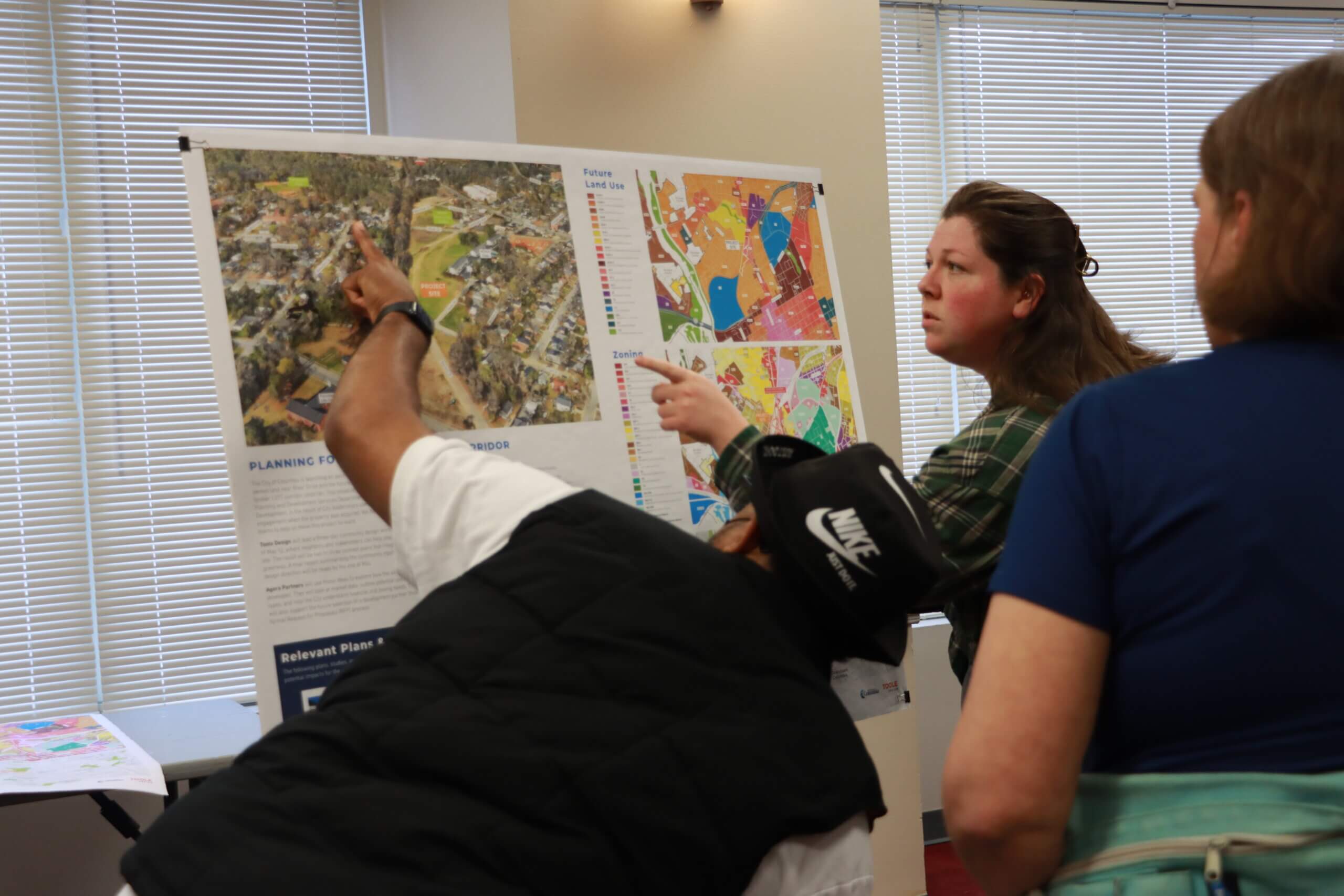
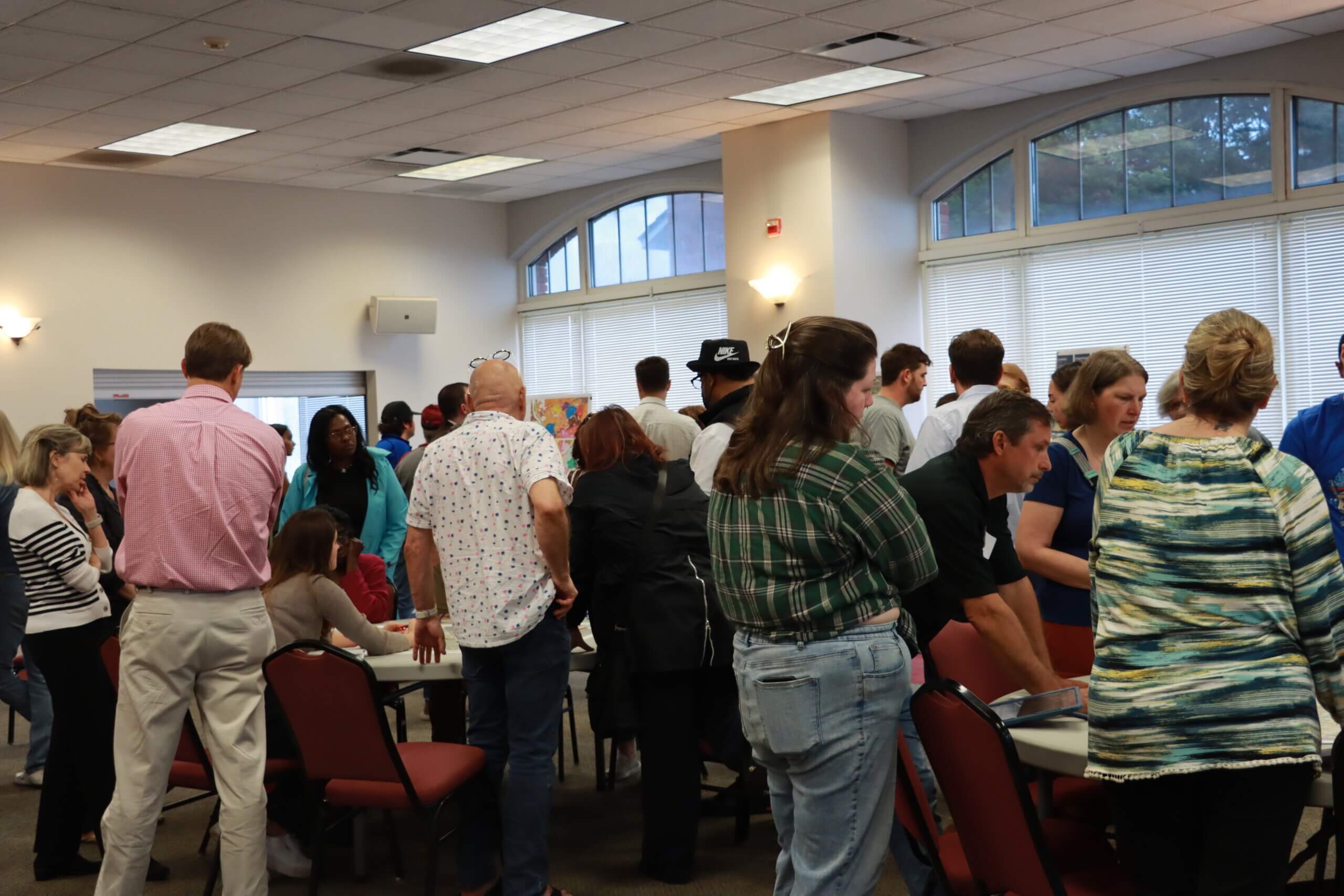
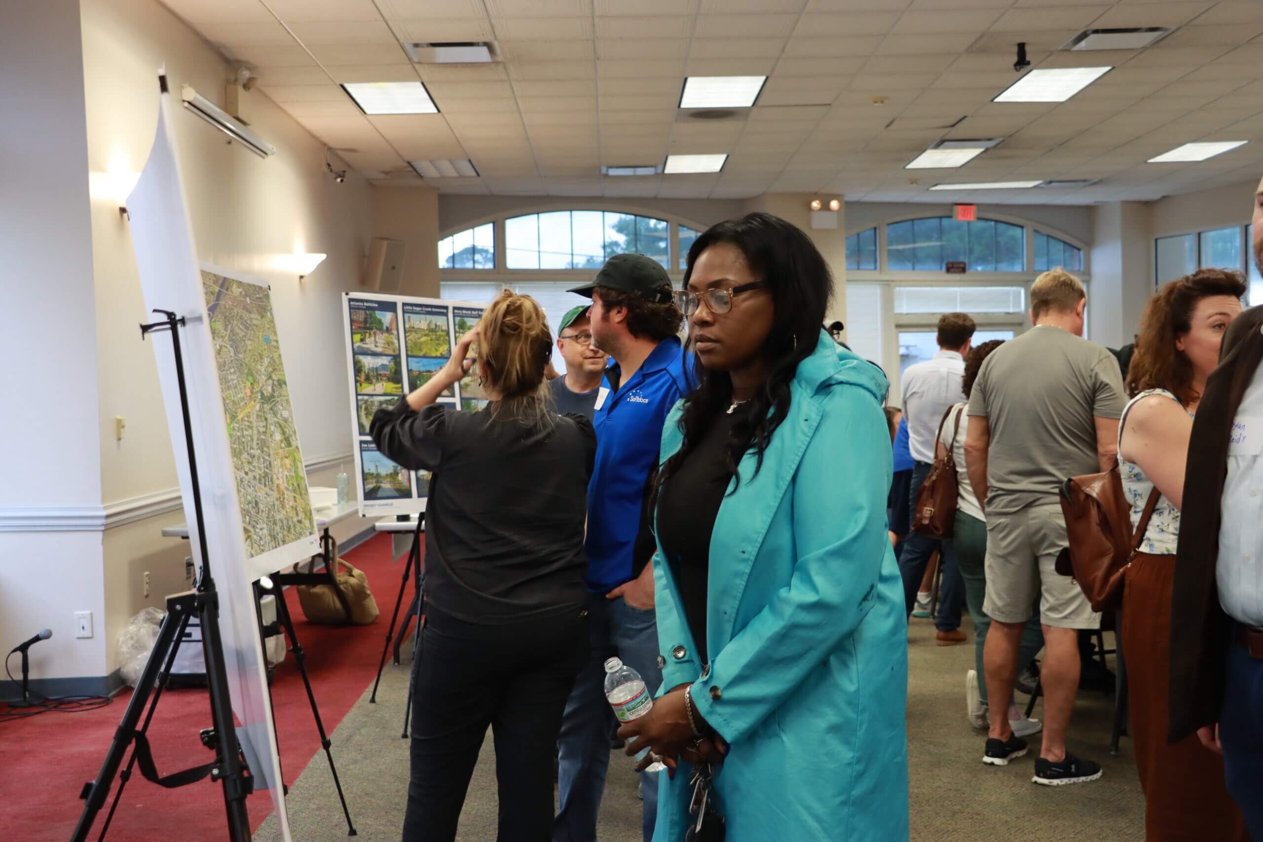
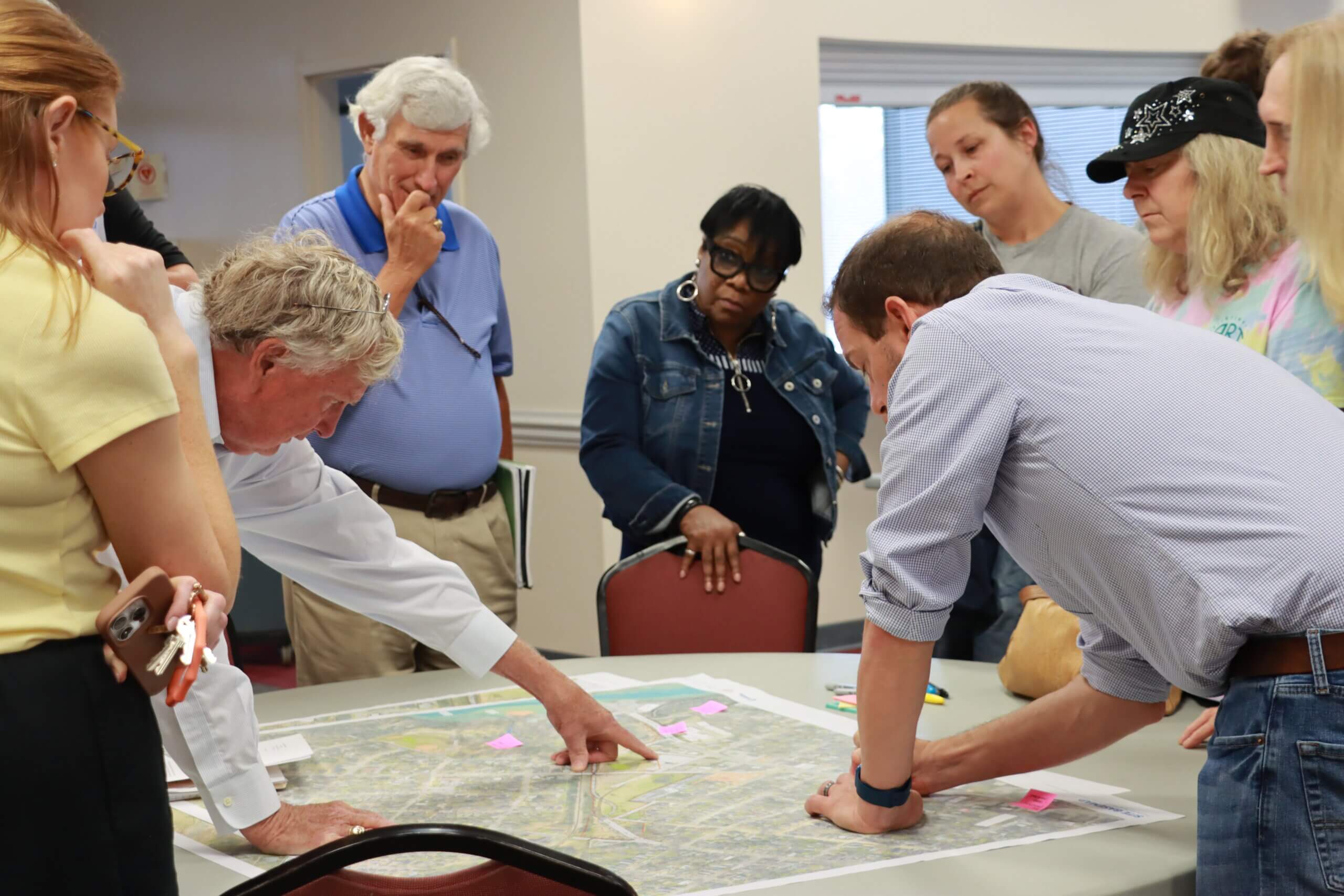
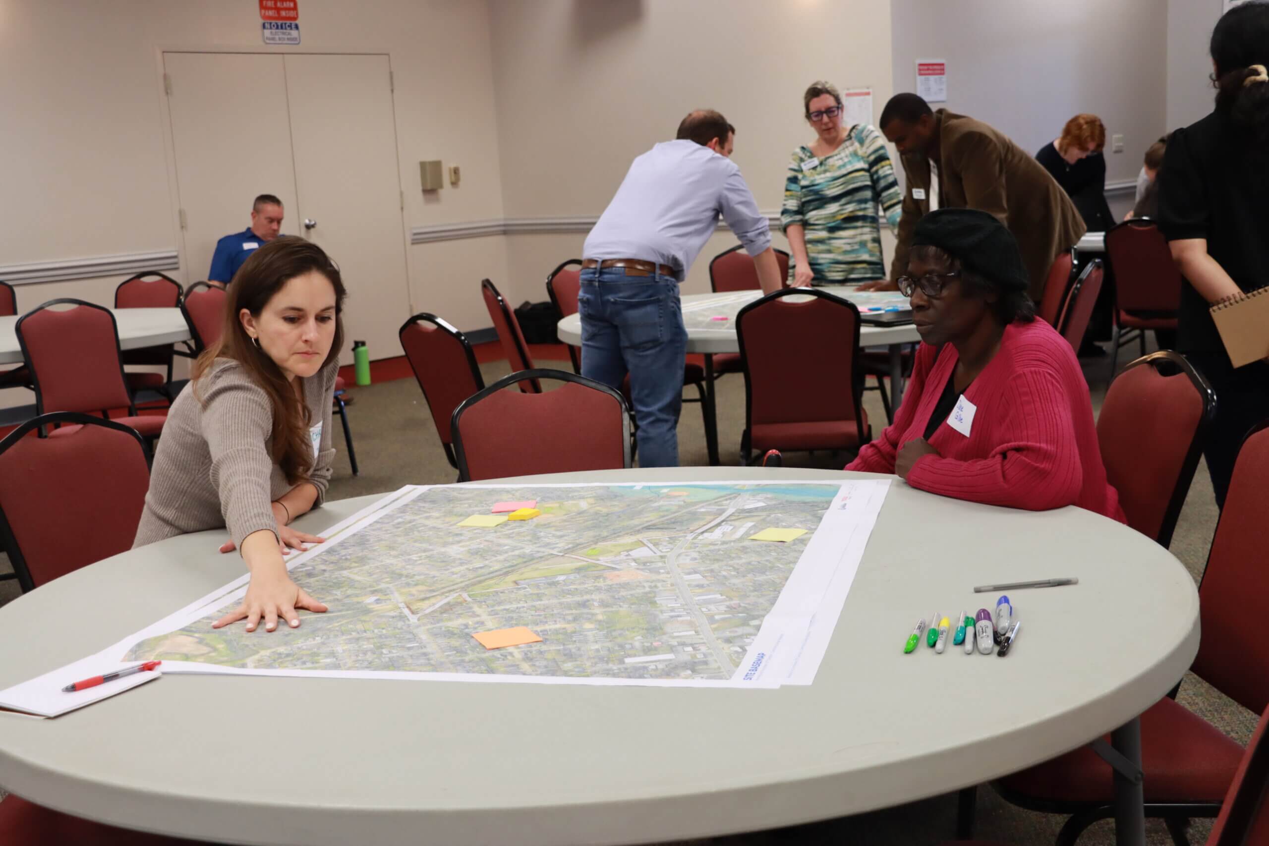
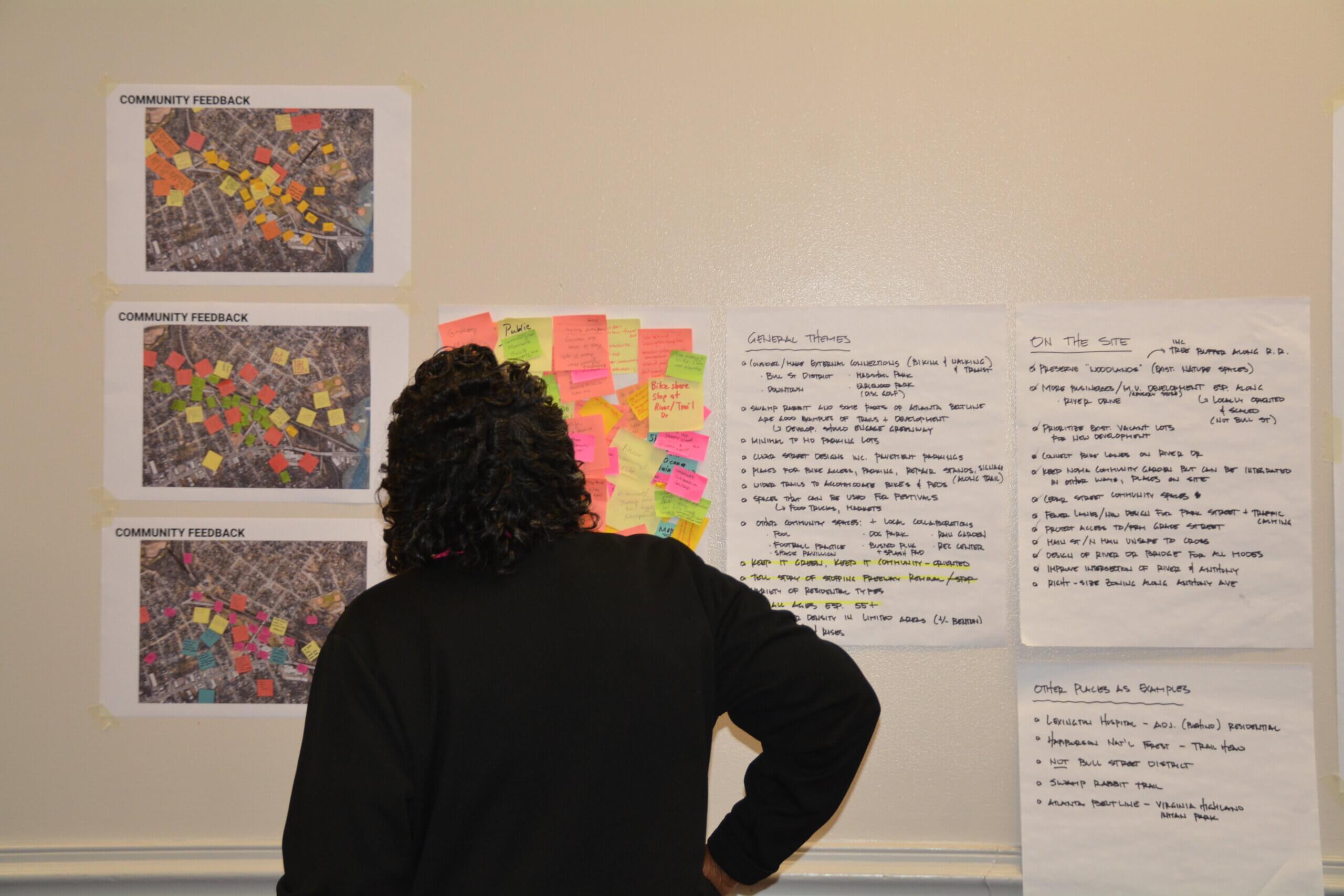
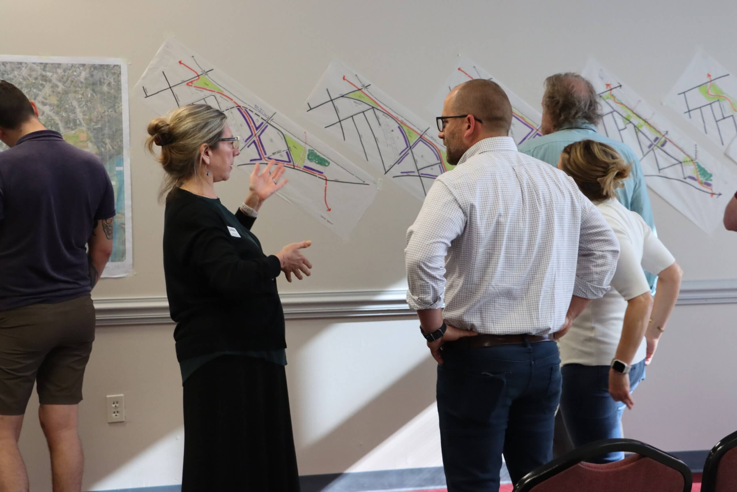
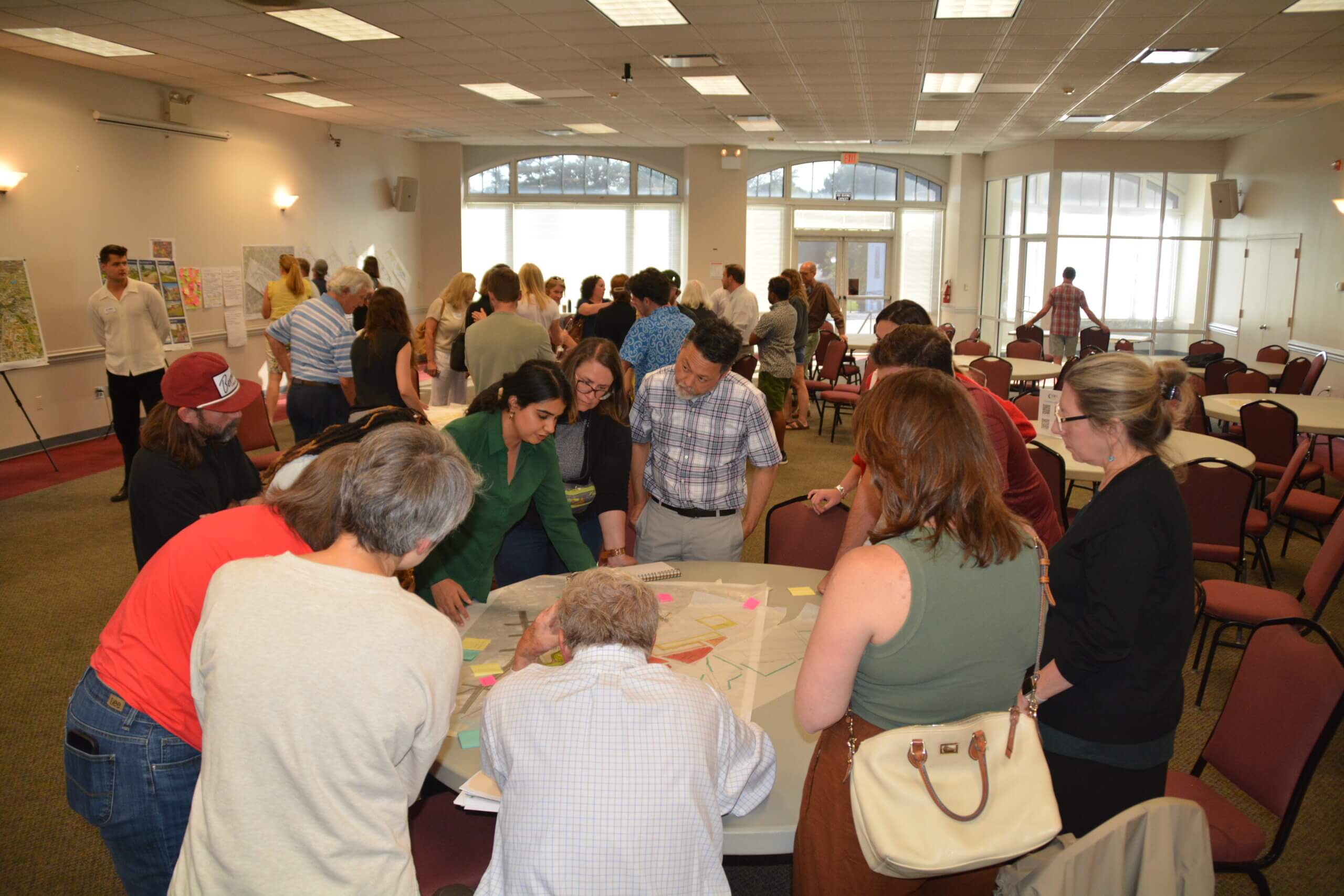
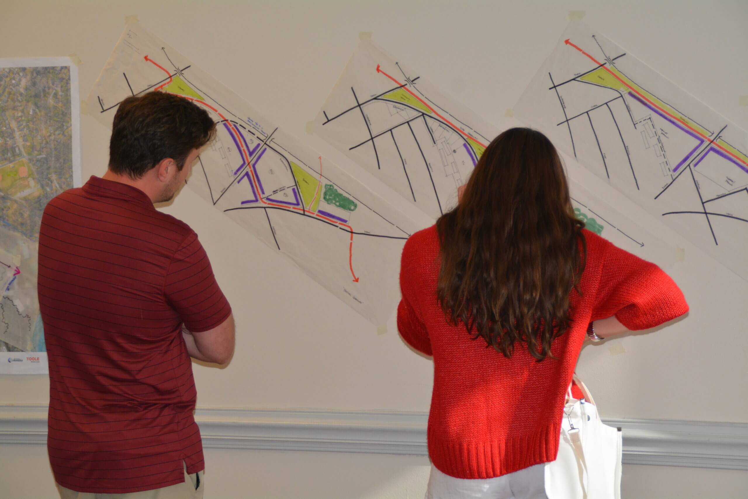
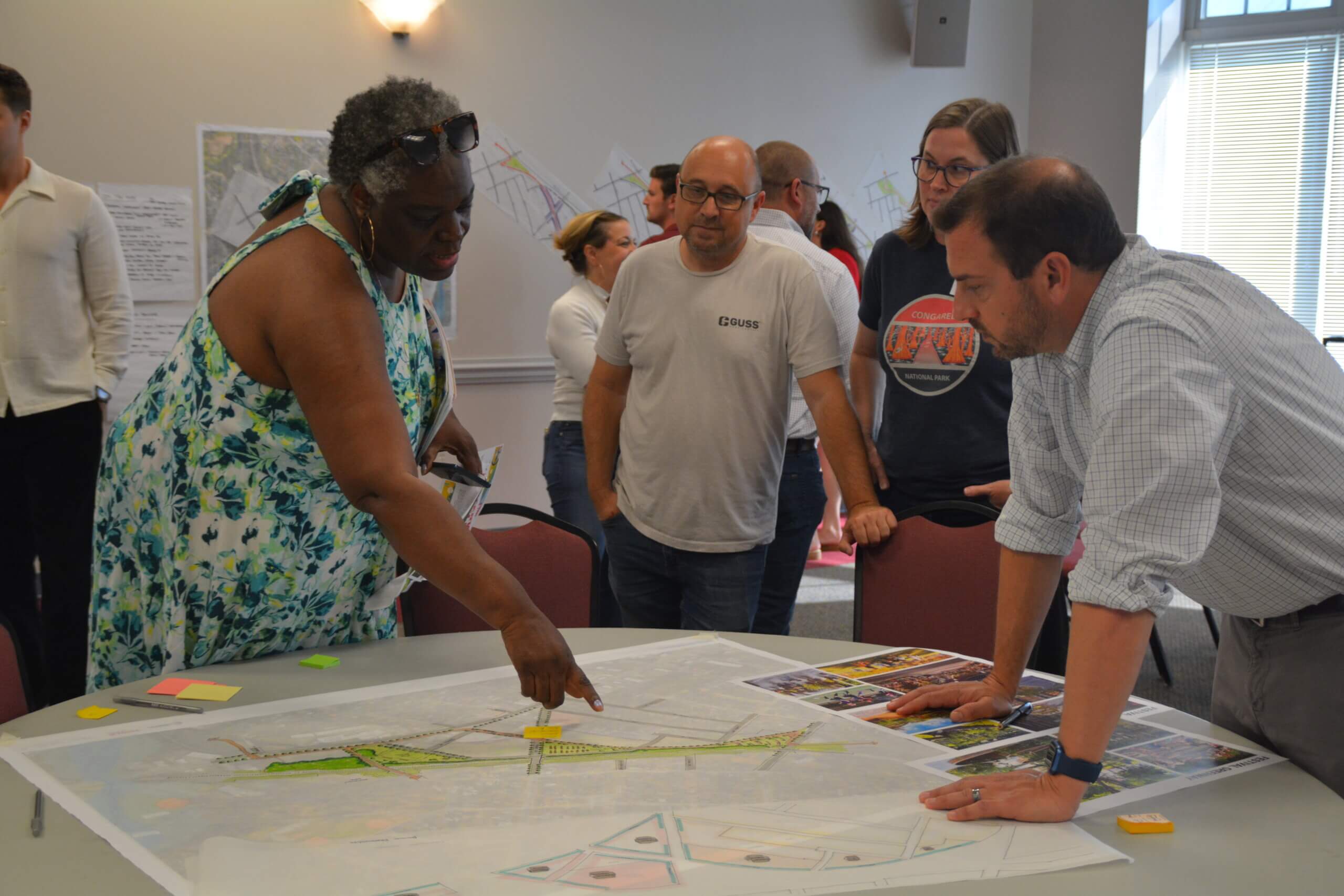
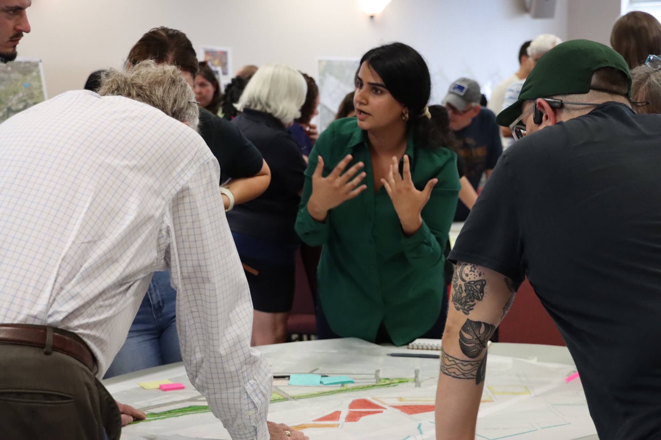
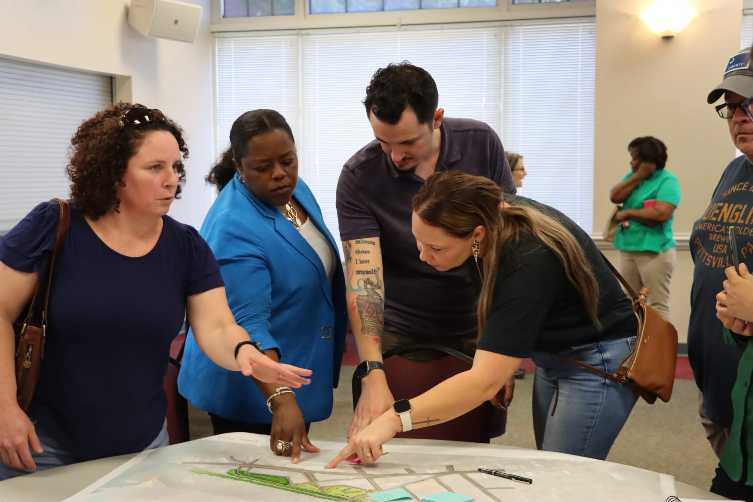
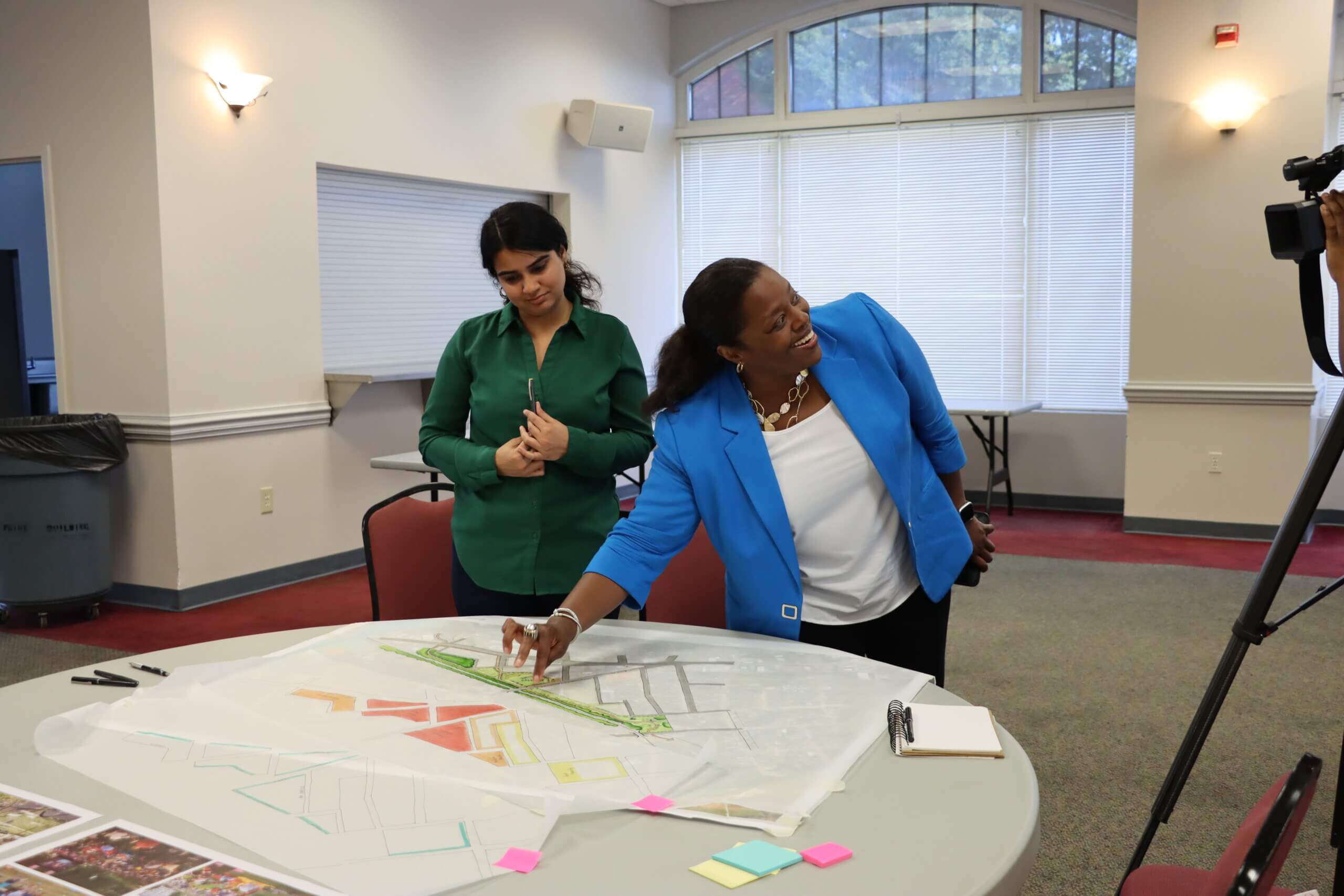
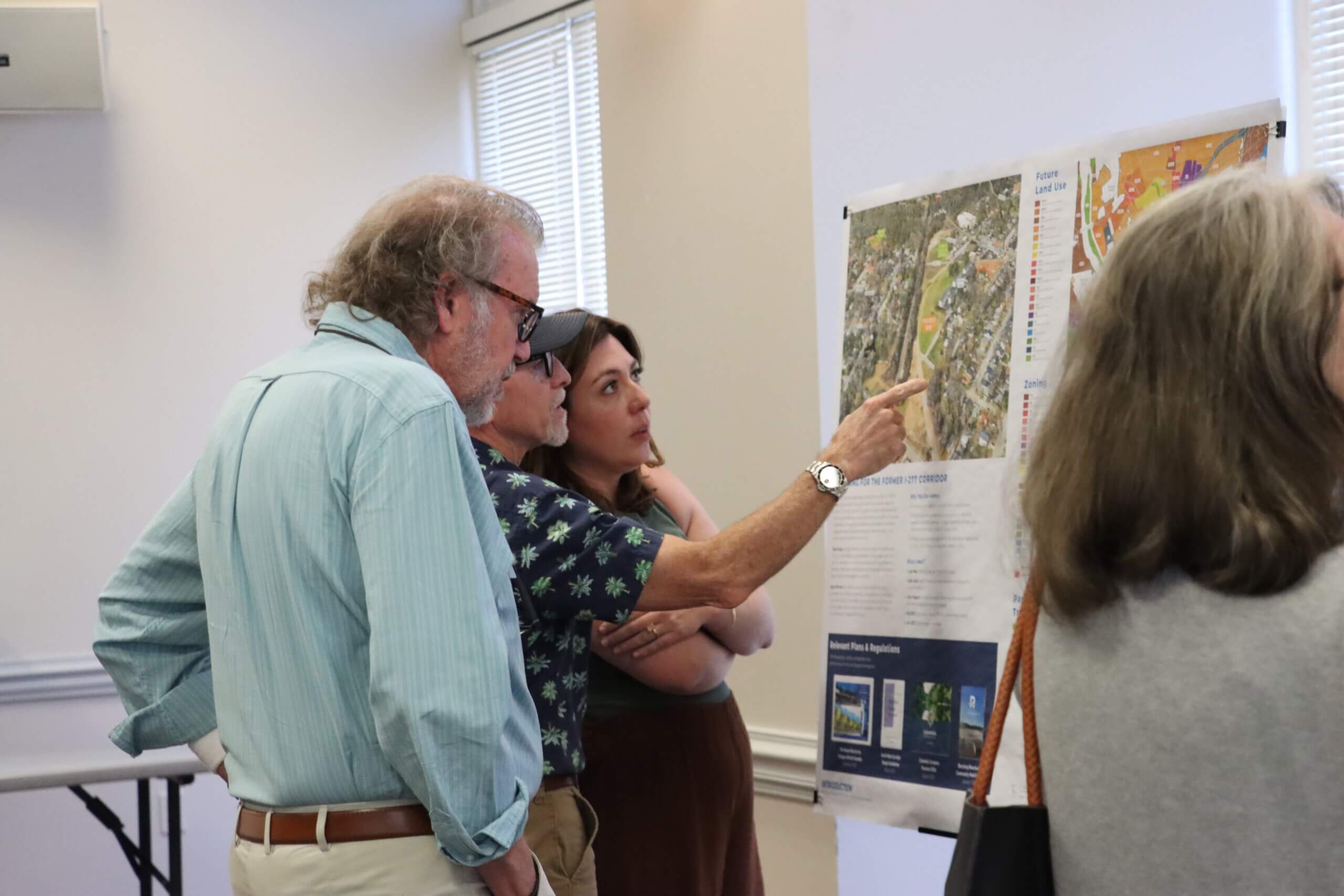
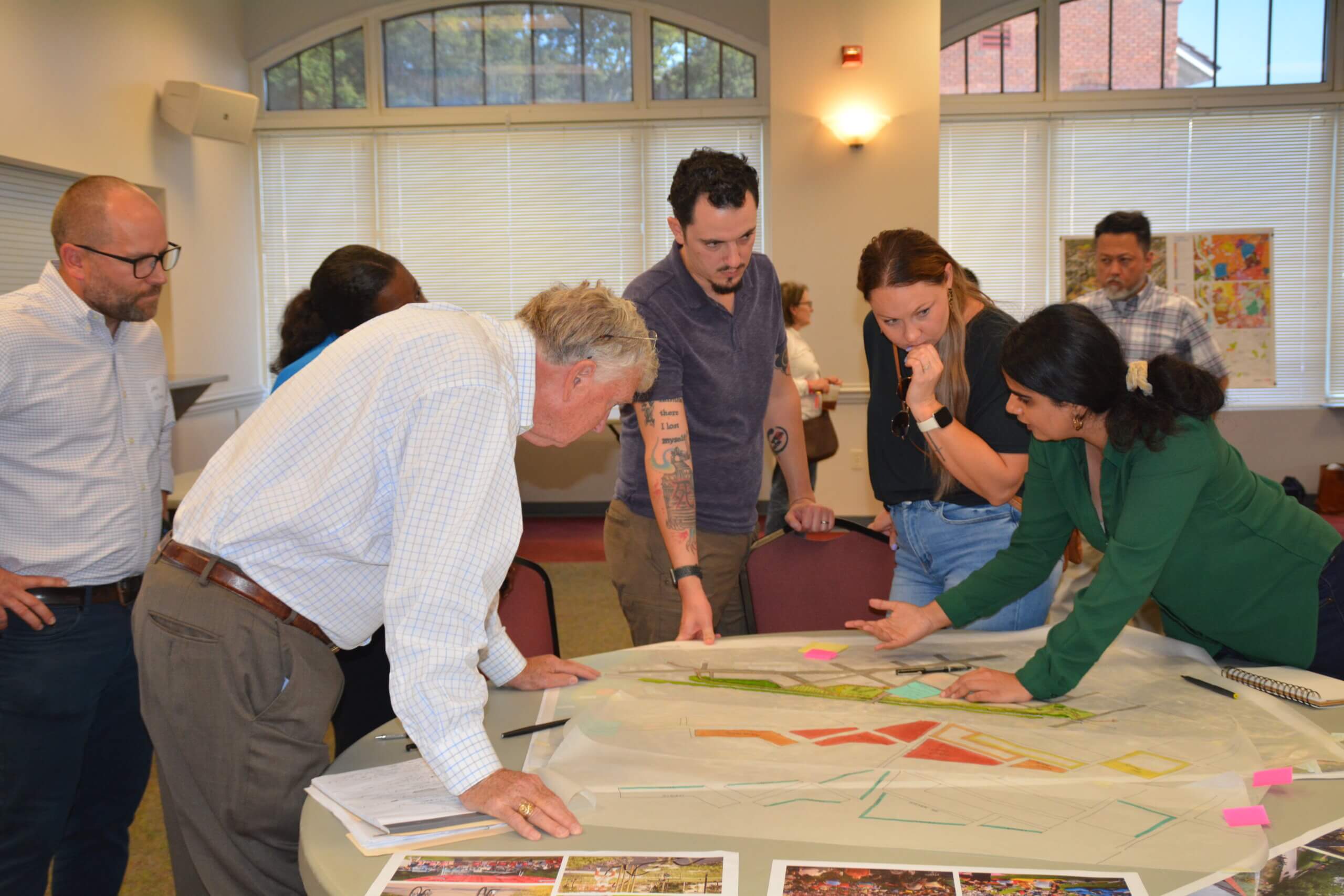
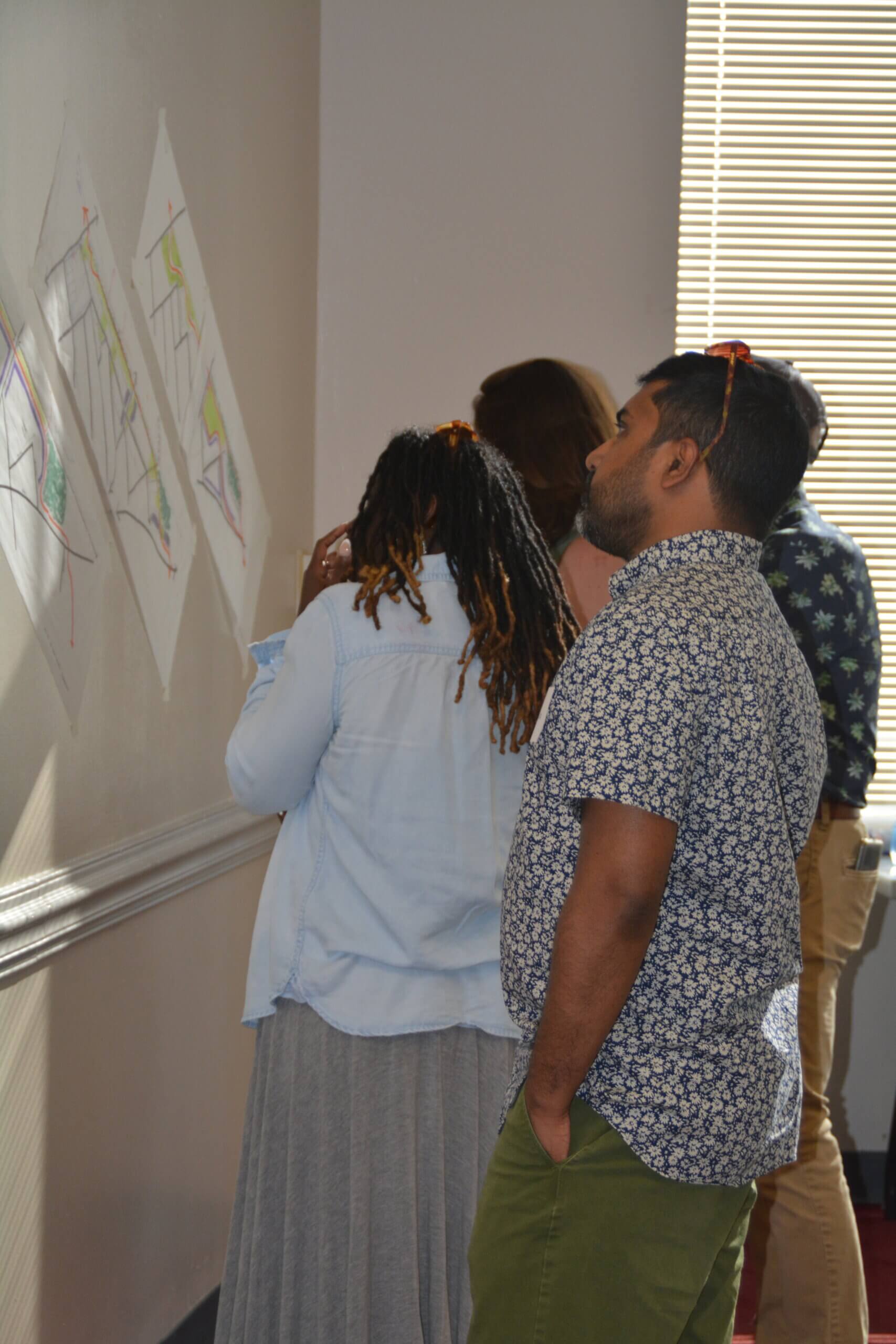
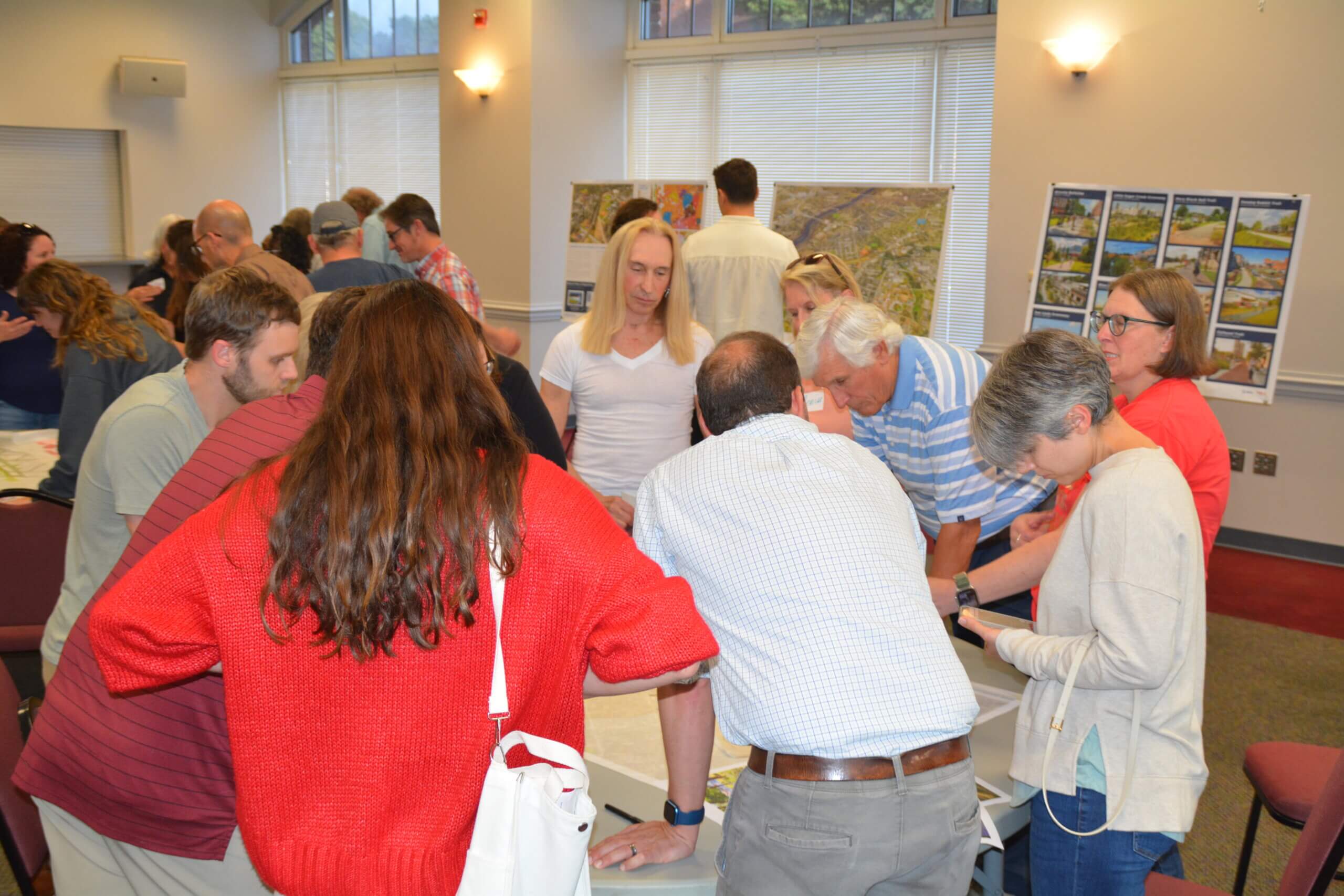
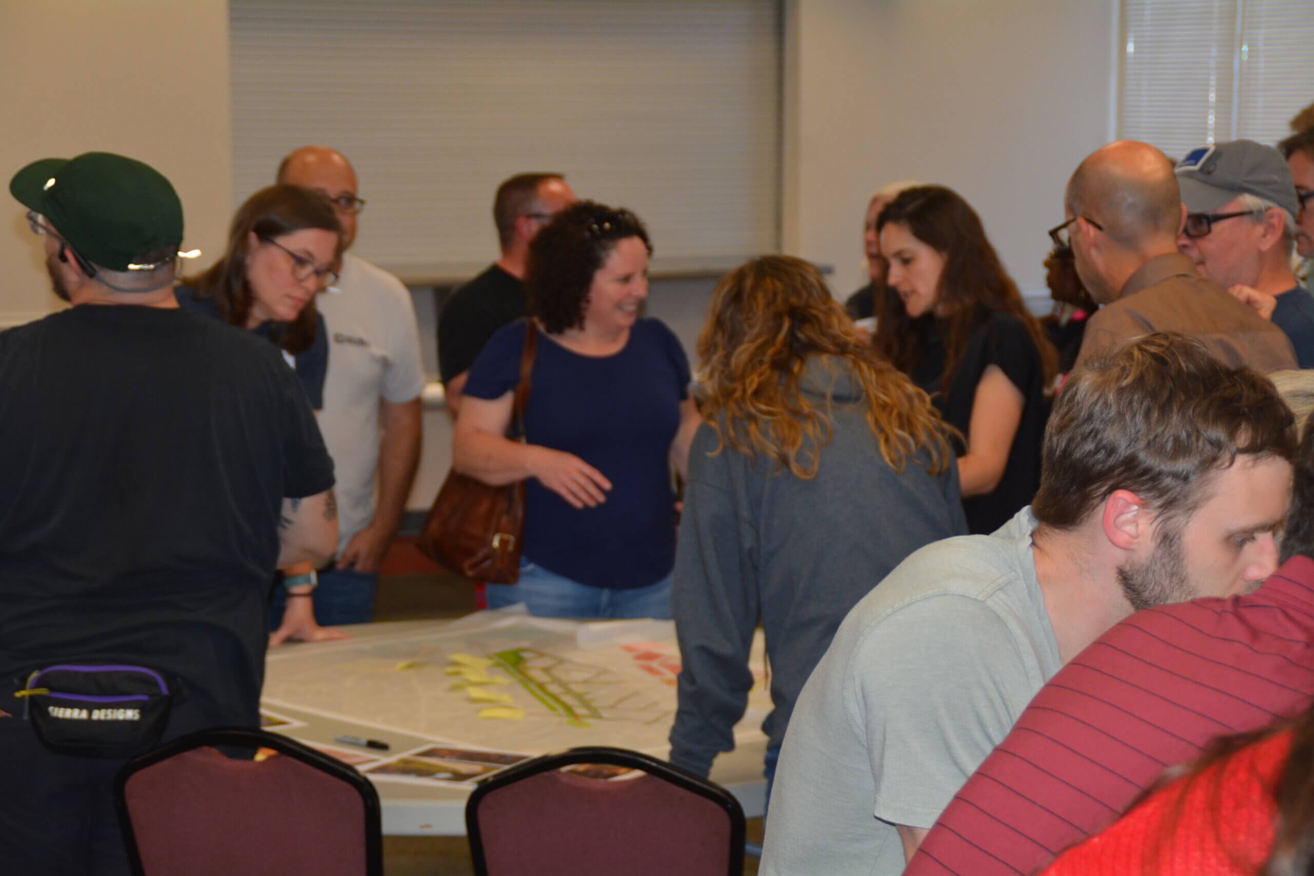
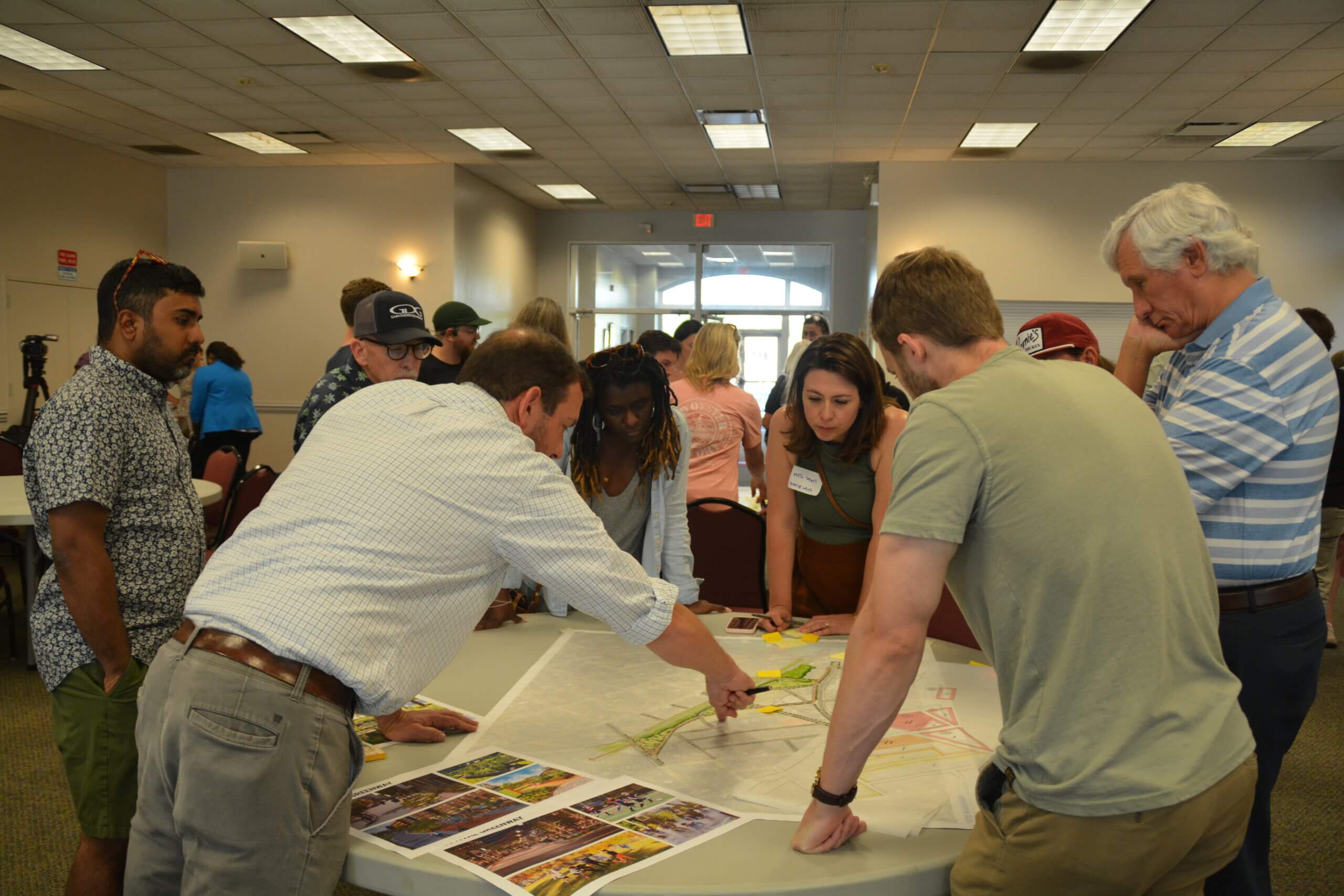
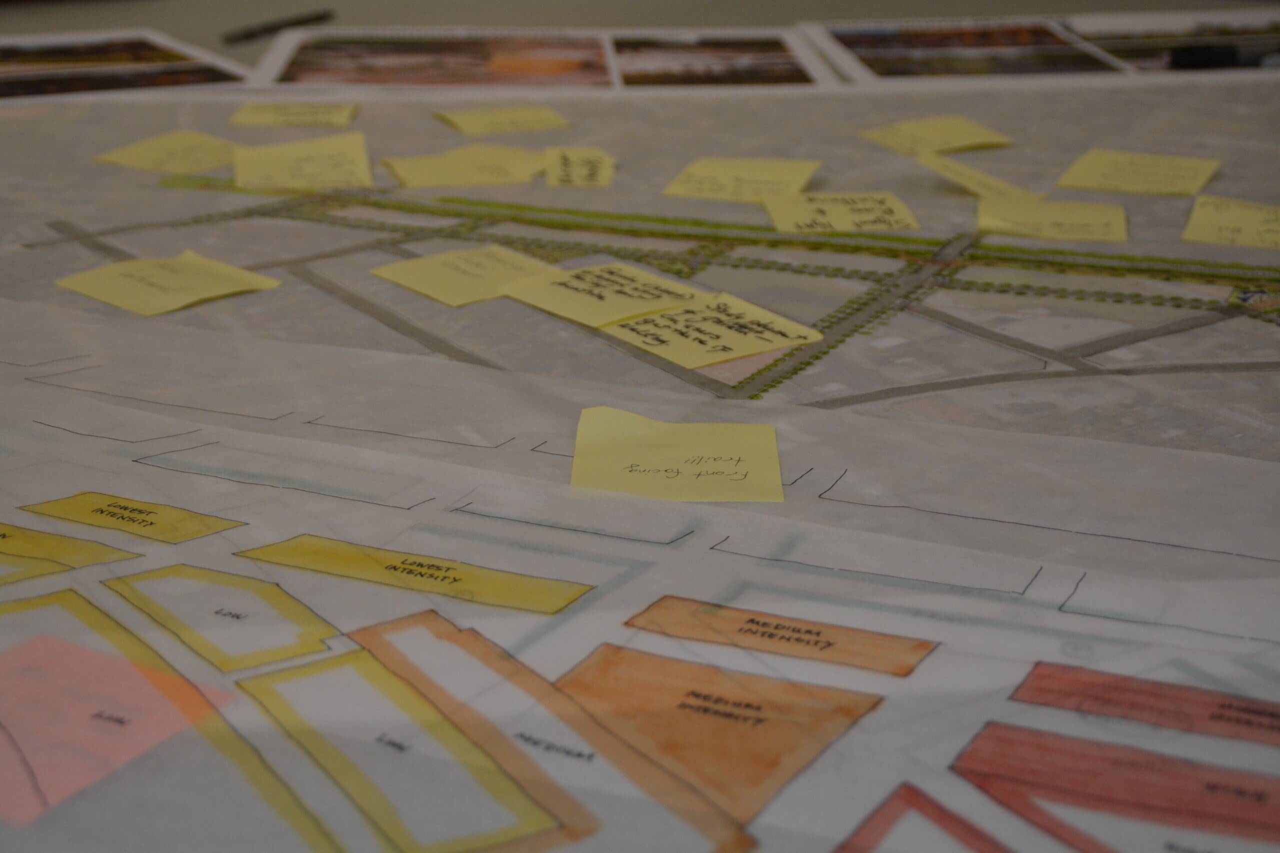
In mid-May, a team from Toole Design led a community design workshop, where neighbors and stakeholders were able to help shape ideas for the site. Their input resulted in three high-level concept plans, all of which integrate the future greenway. A final report summarizing the community input and preferred design direction is available below.
Agora Partners will use this report to explore how the site could be developed. They will look at market data, outline potential uses and building types, and help the City understand financial and zoning needs. Their work will also support the future selection of a development partner through a formal Request for Proposals (RFP) process, anticipated in late 2025.
This process and property is unique.
There are a number of factors at play that make this special:
- The property, initially purchased piecemeal by SCDOT for Right-of-Way in mostly the late 1970s through early 1980s, has remained vacant since SCDOT cleared the land, disconnecting the surrounding communities.
- The City became the property owner in late 2022, paving the way for not only the extension of the long-planned Vista Greenway, but also redevelopment alongside this new multimodal connection that can help catalyze the greenway and provide services and amenities to the surrounding community.
- The property’s size and proximity to the downtown grid and nearby historic neighborhoods is rare – and provides ample space for a mix of uses.
About The Plans + Policies That Support Implementation
There are a number of plans and policy documents that have helped lay the groundwork for this exciting planning and redevelopment process. Take a moment to learn more below – and make a note to stay engaged so that your voice is included in future planning processes, too!
Neighborhood, Area, and Corridor Plans
The former right-of-way property falls within the study area of The Master Plan for the Villages of North Columbia (2005). The plan recommended the acquisition of areas for new parks in specific locations, including the acquisition of this right-of-way property to extend a greenway. The property is also directly adjacent to the edge of the study area for the Reaching Riverbanks Community Mobility Plan (2024), which incorporated the extension of the Vista Greenway in its community mobility recommendations.
To learn more about the City’s adopted neighborhood, area, and corridor plans, as well as other planning-related studies, visit this page.
Planning for Multimodal Transportation + Greenways
The rights-of-way in our City are dedicated to public use, and the majority of those rights-of-way are dedicated to use by motor vehicles. The City of Columbia went through an extensive public planning process in 2014-2015 which, among other things, re-examined how we could better allocate our rights-of-way to provide safe access for users of all modes of transportation. The resulting plan, Walk Bike Columbia, was first adopted as a policy document in 2015, and was reaffirmed through the adoption of the Columbia Compass comprehensive plan in 2020. The Walk Bike Columbia plan identifies policies, programs, and – especially relevant here – infrastructure projects, including the Vista Greenway, that can help make walking and biking safer and more attainable throughout the City.
The recently adopted Parks & Recreation Master Plan incorporated additional community feedback that overwhelmingly supported the extension of greenways and linear parks throughout the City.
Columbia Compass, the City’s Comprehensive Plan
The Columbia Compass comprehensive plan, written to reflect the extensive public input received during the planning process, also includes a number of recommendations regarding trail and greenway systems, including potential routing (at a conceptual level) and best practices and recommendations for how to build out the system. The plan addresses a host of topics, including economic development, housing, and land use. Many of the plans’ recommendations are relevant to this planning and redevelopment process, and will help provide guidance to the City and future developers throughout this process.
Photos + Documents
Want to dig into the details? The consultant team from Toole Design has worked to summarize and analyze everything they heard from folks during the charrette in a final report.
- Charrette Report
- Charrette Report Figures & Illustrations (due to the higher resolution of images, this may take a moment to load)
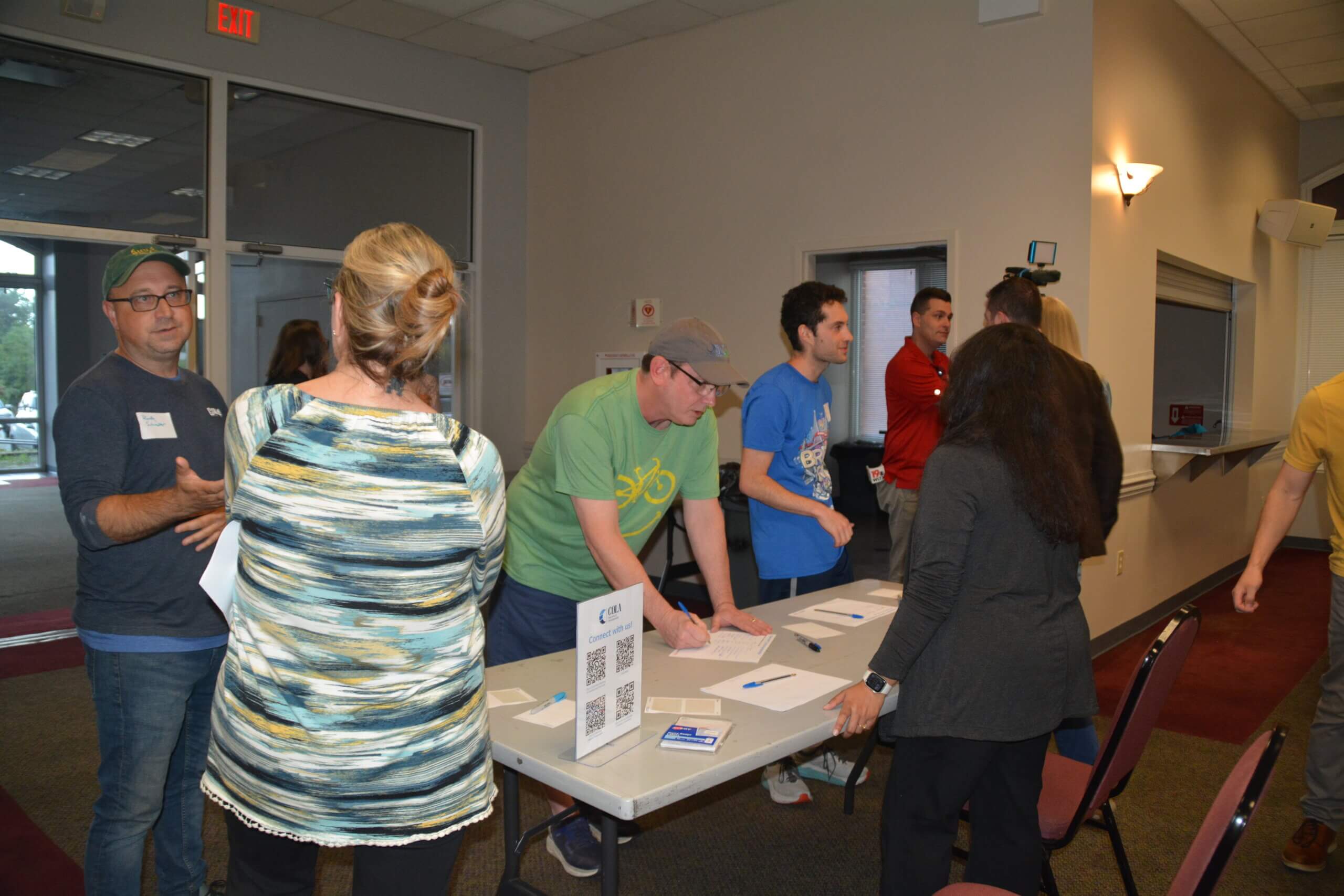
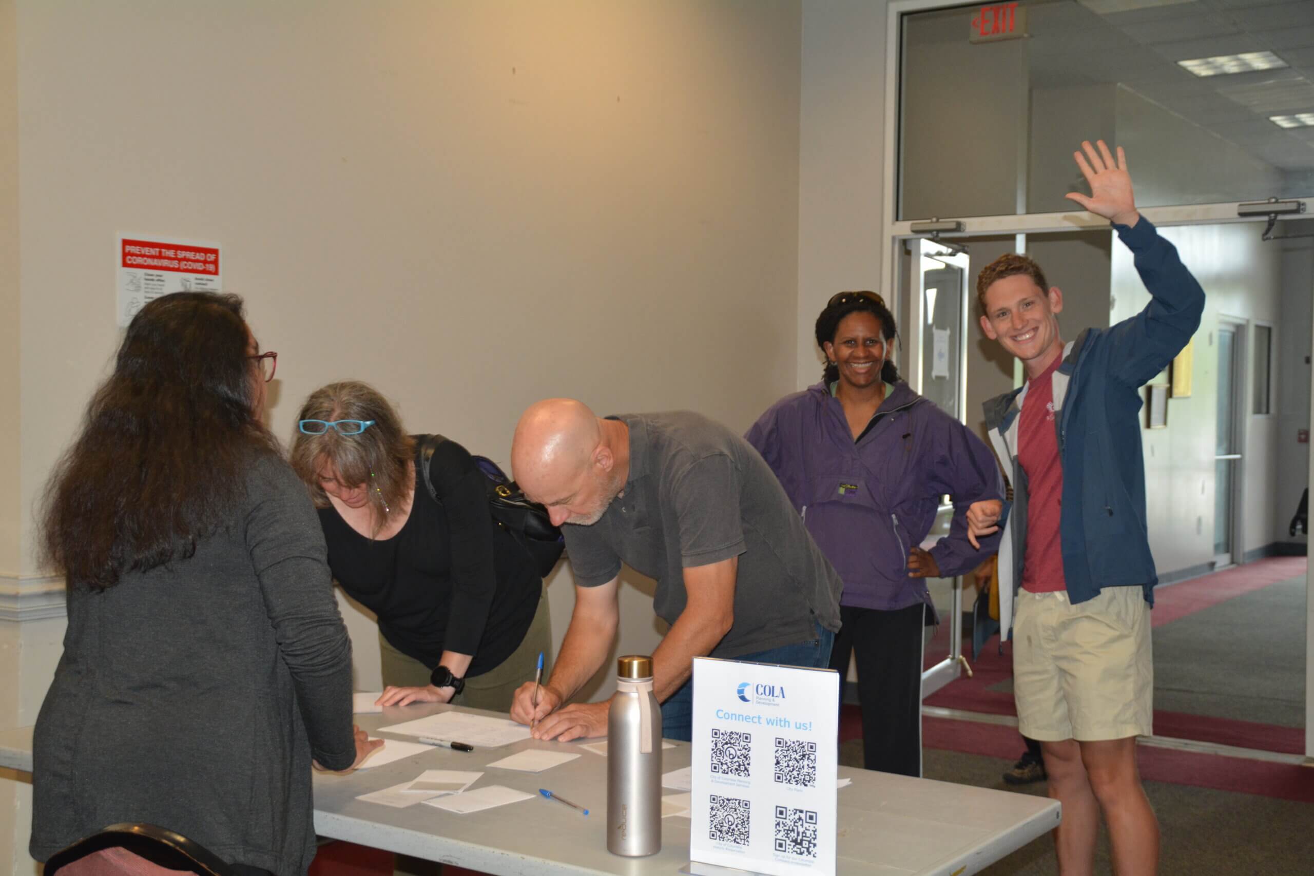
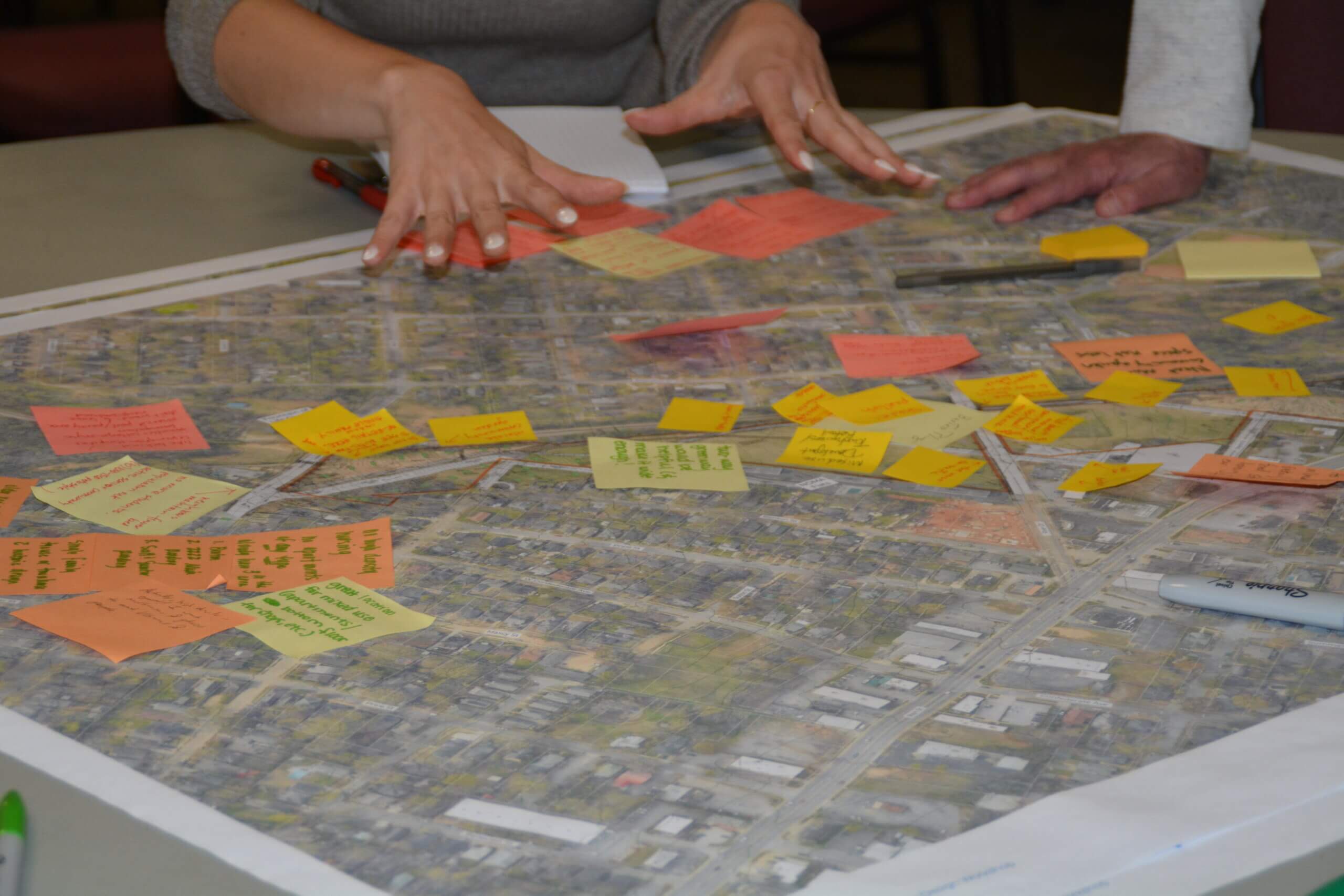
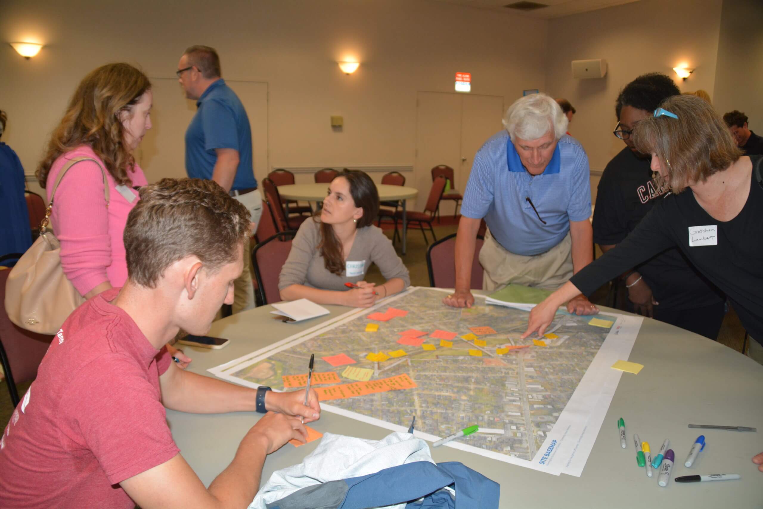
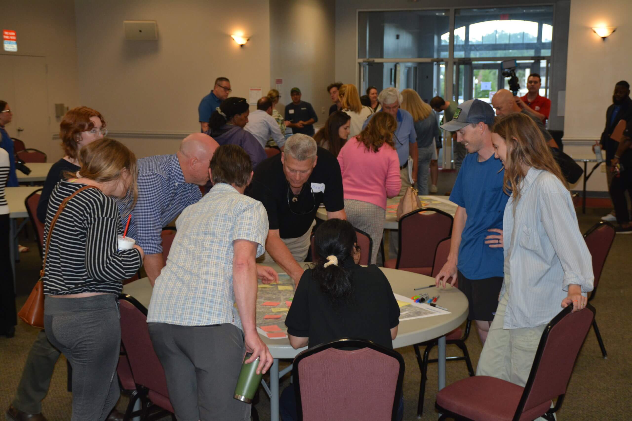
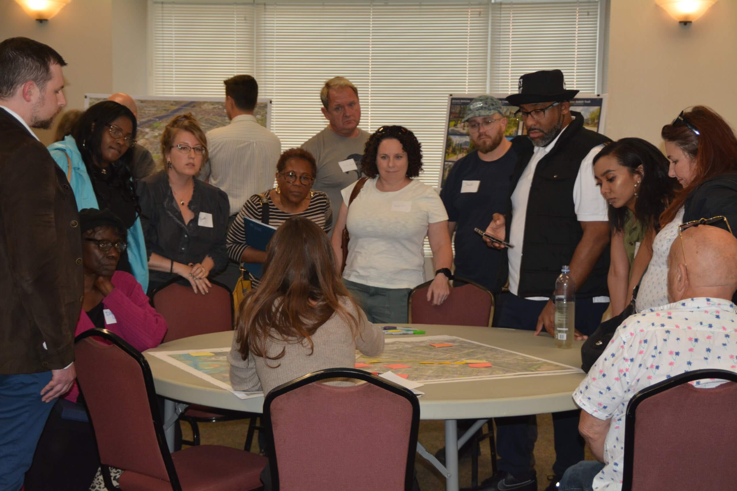
You can also check out some photos from the workshops below!


Contact Us
This is an ongoing planning and development process, directed by City administration with support from the Economic Development and Planning and Development Departments. Planning Division staff will do their best to connect you with answers. Please reach out to us at 803-545-3222. If you’re interested in receiving monthly-ish emails with updates about planning processes and related events city- and region-wide, consider signing up for our Columbia Compass e-newsletter here.
If you are interested in participating in the Request for Proposals (RFP) process once it has been released, please take the time to register with the City’s Procurement & Contracts Department. City of Columbia procurement policy will stipulate a single point of contact within the Procurement & Contracts Department for the procurement process once released; please do not contact other City staff with questions about the procurement process.