
Join us as we work to develop strategies that prioritize safety for all roadway users.

About the Planning Process
Sharing the Road: a Safety Action Plan for the City of Columbia will analyze the safety issues faced by all road users, from our more vulnerable users, like pedestrians and cyclists, to transit riders and personal and commercial vehicle operators. Like any planning process, it will begin with data gathering, using crash data and qualitative feedback to identify the city’s high-injury network and those factors which contribute to making some of our city streets, as coined by Smart Growth America, “dangerous by design.”
Throughout the process, the project team will be guided by community input, and through the engagement of a Safety Technical Advisory Committee, which includes representatives from transportation and public safety agencies, neighborhood groups, and advocates for vulnerable road users.
This planning process is partially funded by and aligns with the USDOT Safe Streets and Roads for All program. What does that mean?
- The process will result in an official public commitment via City Council Resolution to establish a target date for achieving a significant reduction in roadway fatalities and serious injuries.
- The plan will analyze existing conditions, identify the City’s High-Injury Network (HIN), and identify specific and systemic safety needs + priority projects.
- The plan and commitment, once adopted via City Council, will give the City the opportunity to apply for future competitive SS4A implementation funding.
What’s so important about roadway safety?
The numbers don’t look good. Quantitatively, we have a lot of crashes – and that means members of our community are losing their lives, suffering long-term health impacts, and economic impacts, too. Safer streets are more vibrant streets – where businesses thrive because people linger in areas that are welcoming.
What do the numbers say?
- In five years (2019 – 2023), there were 34,732 crashes in Columbia. 7,003 resulted in some type of injury – and 99 networks of families, friends, and loved ones lost people they care about. In 2024, we lost 26 additional lives to crashes.
- We can never fully quantify the long-term impacts of crash-related deaths and serious injuries. However, if we do the math using economic costs as estimated by SCDOT in 2025 numbers, crashes in Columbia alone have an estimated financial impact of:
- Over $3 BILLION between 2019-2023 ($3,237,432,327, across 34,732 crashes, to be exact)
- Over $714 MILLION in 2024 (using the preliminary crash data, the total is $714,073,136, across 6,645 crashes)
Making our streets safer for all users is critical.
“Safe Streets is about providing the highest and best use of a public asset. Much like parks provide a variety of activities, streets should provide a variety of safe transportation options.”
Leslie Meehan, Deputy Commissioner for Population Health, Tennessee Department of Health
What do we mean when we say “all users”?
Our public rights-of-way are dedicated for all Columbians to use – and they work together to create a transportation network that should serve all users. While we might immediately think of vehicles when we think of crash data, it’s important to note that vehicular crashes impact all users – and pedestrians and bicyclists (our vulnerable users) suffer disproportionately when it comes to roadway crashes.
Creating a safer transportation network where all users benefit reduces impacts across the board:
- We all are more likely to arrive safely at our destinations;
- Traffic patterns become more predictable, and congestion is decreased;
- Choosing to walk, bike, or ride transit becomes more palatable for shorter trips – reducing the number of vehicles on the road simply by providing safer multimodal options;
- Slower speeds move more cars, create a safer urban environment, and increase the visibility of local businesses; and
- By planning for and investing in roadway safety, we save money in the long term – the economic costs of crashes are heavy, and they likely only touch the surface of the true societal cost.
12
most dangerous metropolitan area in the nation by design
according to the National Complete Streets Coalition’s 2024 Dangerous by Design Metro Area Rankings. Across the Dangerous by Design rankings, we rank poorly – in our Metro Area, Congressional Districts, and the State as a whole.
43
of fatal crashes in the City resulted in the death of a pedestrian or bicyclist -
but combined, pedestrians and bicyclists were only involved in 1.5% of the total crashes in the City (2019-2023 data). As vulnerable road users, pedestrians + bicyclists are killed and injured at disproportionate rates on our City’s streets.
Crashes in Columbia had an economic cost of more than
714
million
in 2024 alone when calculated using SCDOT’s average cost per crash severity. How did SCDOT calculate these #s? FHWA’s estimates are adjusted for inflation (each year since 2016) and lowered to reflect the lower cost of living in SC.
Ways to Engage
Throughout this process, there will be various opportunities to give us your feedback about how our community can collaborate to make our rights-of-way safer for all users. Please visit this website regularly and stay tuned to regular updates on the City’s social media as we announce more information. If you haven’t already, you can also sign up to receive our Walk Bike Columbia e-newsletters. Generally, this sublist receives the Columbia Compass monthly emails with planning-related updates, but the Walk Bike Columbia list also receives occasional alerts and updates specific to multimodal transportation planning + infrastructure.
Current opportunities, as well as those upcoming shortly, are highlighted in light green below.
- A Safety Technical Advisory Committee (STAC) with representatives from transportation and public safety agencies, institutions, neighborhood associations, and advocacy organizations, will meet throughout the process, starting with a Safety Launch in August of 2025.
- A Safety Summit to include the City’s decision makers, members of the STAC, and key department and agency staff was held in mid-September 2025 to help assess needs and set the tone for the coming planning process.
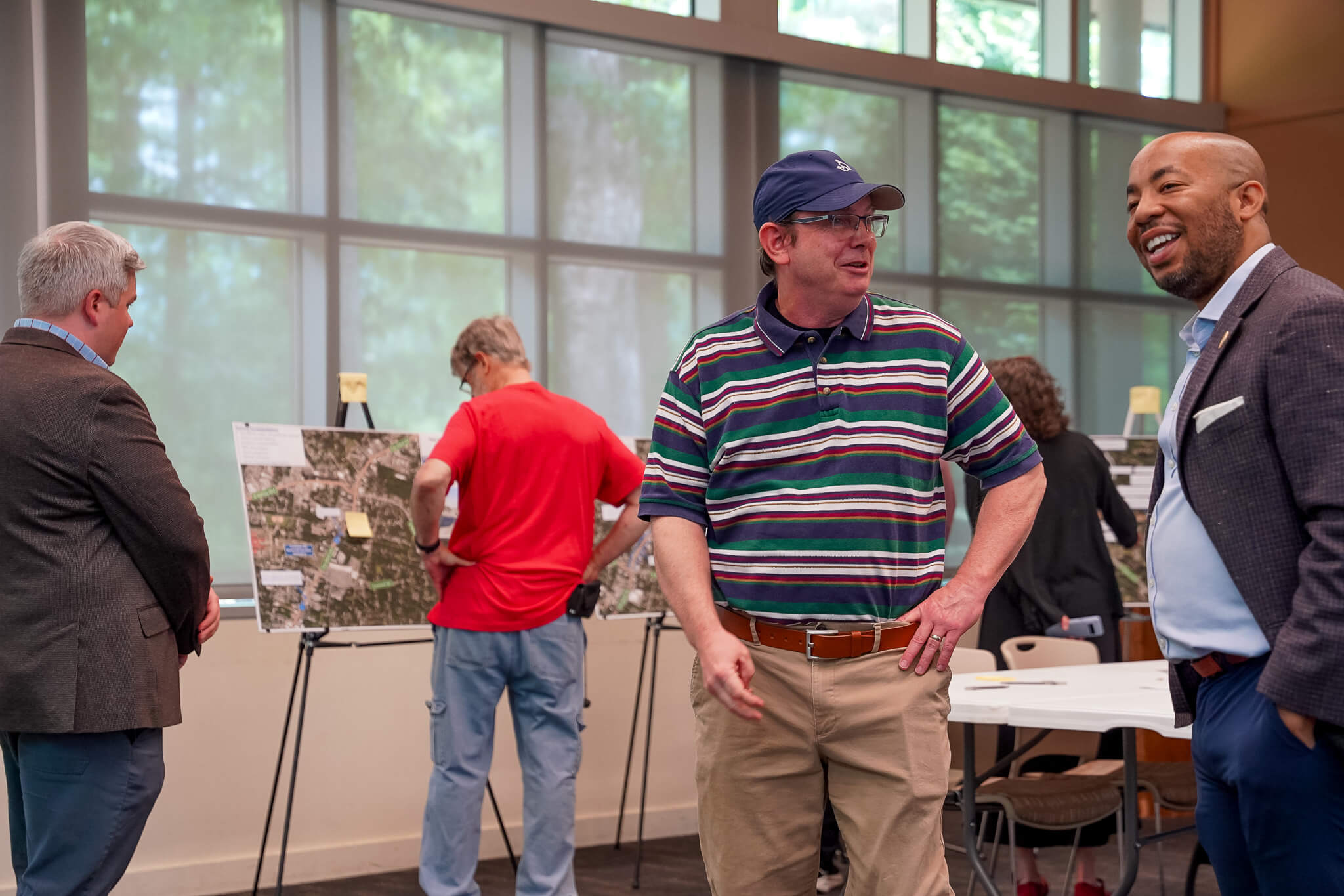
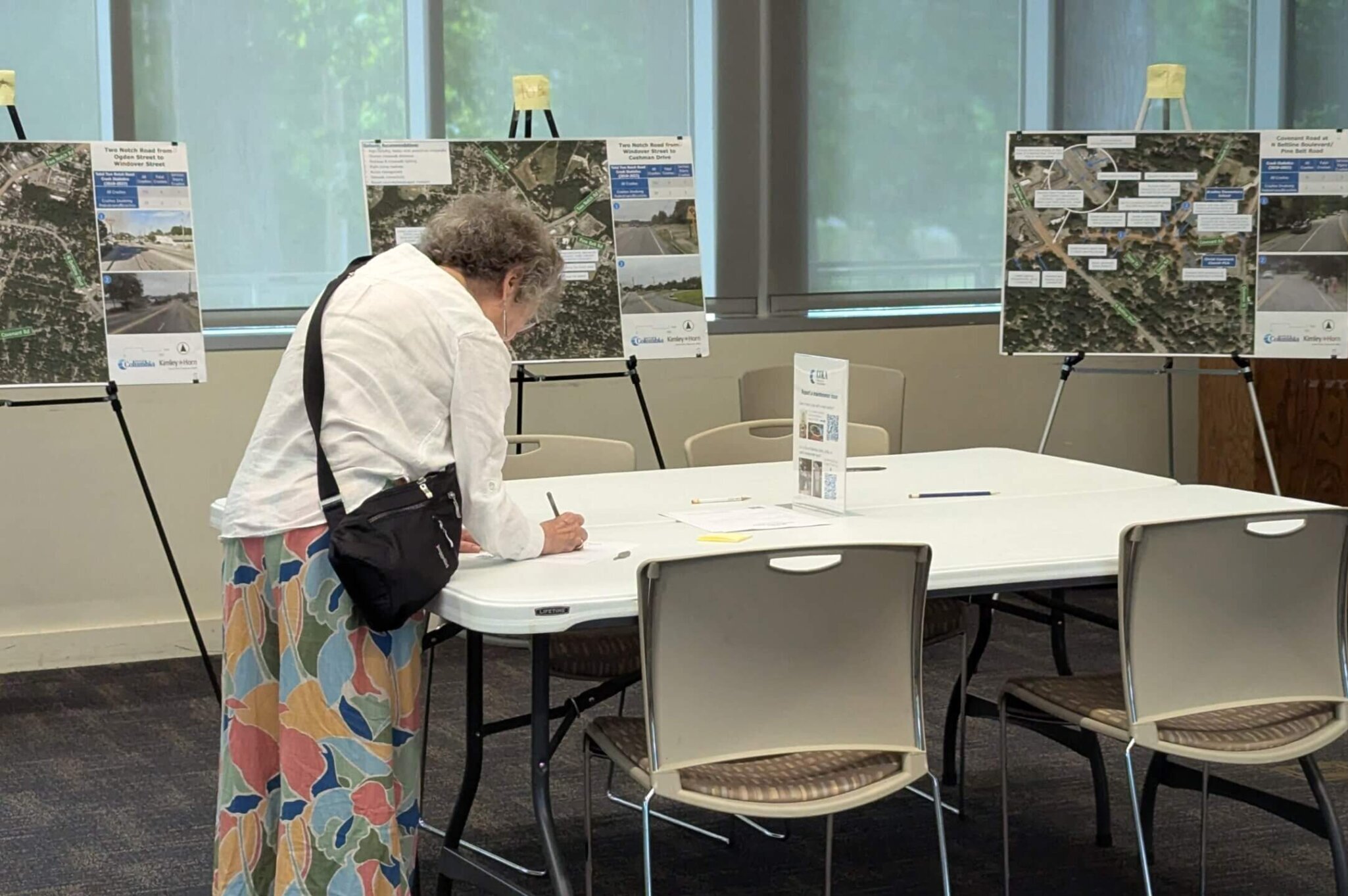
- Public Open Houses open to all Columbia residents interested and passionate about making our rights-of-way safer for all users. Public open houses were held at Richland Library Main on Wednesday October 8, 2025 from 11AM – 1PM and 4PM – 6PM. Both open houses were same, and were organized with a drop-in format so that folks could engage directly with the project team. If you were unable to attend, you can view the information presented below – but please also take a moment to share your local knowledge via our survey!
- An Initial Online Survey to gather initial feedback , accompanying the in-person public open houses. The survey was open through November 9th, and had two components – an opportunity for general feedback on priorities and to provide open-ended comments, and an interactive map which allows for location specific comments.
- A second round of public open houses were held on Tuesday, May 12th from 11AM – 1PM and 4-PM – 6 PM at the Virginia Bedford Community Center at Earlewood Park (1113 Recreation Drive, Columbia, SC 29203). The project team shared the finalized High Injury Network, and recommendations for programs, policies, and projects that can help improve safety for all roadway users.
- A second online survey will be available after the close of the public meeting on May 12th – June 9th so that you can provide your feedback on the finalized High Injury Network, and recommendations for programs, policies, and projects that can help improve safety for all roadway users.
You can also email us your comments at transportationplanning@columbiasc.gov if that’s easier (especially with comments on the draft Countermeasure Toolbox ) – just please do so by June 9th!
- A Vision Zero Resolution will be reviewed for adoption by Columbia City Council to establish a formal commitment to eliminating fatal and serious injury crashes in the City.
Choosing Crash-Heavy Corridors
The project team has selected 5 corridors and 5 intersections for conceptual design, and we hope you’ll help us dig into the details via our online survey (May 13 – June 9)!
Intersections
- Beltline Blvd at Two Notch Rd
- Covenant Rd at N. Beltline Blvd + Pine Belt Rd
- Elmwood Ave at Main St
- Laurel St at Huger St
- River Dr at Sunset Dr
Segments
- Academy/W. Beltline (I-277 – Two Notch)
- Elmwood Ave (I-126 – Bull)
- Farrow Rd (Beltline Blvd to Chappelle)
- Huger St / Whaley St (I-126 – Wayne)
- Two Notch Rd (Taylor/Forest – Cushman/Pine Belt)
Please note: as the selection of locations for conceptual design is a part of the planning process, the project team worked to select locations which were not being otherwise addressed but posed a more pressing safety concern and complexity of design. These projects are conceptual and do not have funding allocated at this time.
- Further STAC Meetings will be scheduled and communicated as the Safety Action Plan process continues through 2026.
- Official Adoption of the completed Safety Action Plan by City Council is anticipated later in 2026.
Resources
Dig into the recommendations for programs, policies, and projects presented May 12th!
- About the Planning Process
- High Injury Network Map + Systemic Countermeasures
- Conceptual Design – Intersections
- Conceptual Design – Segments
- Countermeasure Toolbox
- Policy Recommendations
You can also email us your comments at transportationplanning@columbiasc.gov if that’s easier – just please do so by June 9th!
Check out some additional plan-specific resources:
- October 8, 2025 Public Open Houses:
- Process boards (PDF)
- City-wide maps (PDF)
- Crash heat maps by area (PDF)
- Sharing the Road Overview Document (PDF)
- What is Vision Zero? (PDF)
Communities across the nation – and the world – are taking steps to make their streets safer for all users. We don’t have to reinvent the wheel:
- There are well-developed, tested, and innovative approaches to infrastructure – check out resources like the NACTO Urban Street Design Guide (and many other NACTO publications) and our Walk Bike Columbia Facility Recommendations (which are incorporated into the City’s Engineering Regulations).
- There are ways you can help rethink your own right-of-way – Streetmix.net is a great tool to help visualize tradeoffs and estimated capacity for users of all
- There are information clearinghouses and reports related to roadway safety:
- the Dangerous by Design reports from Smart Growth America are issued annually and rank both metropolitan areas and states
- the U.S. Safe Streets Index (StreetLight, 2026) analyzes the 100 most populated metropolitan areas across five weighted safety factors
- the Pedestrian and Bicycle Information Center serves as a resource clearinghouse for multimodal transportation topics and data.
- learn more about the Safe System Approach and access resources shared by the Federal Highway Administration here.
- There are groups advocating for safer streets nationwide and locally. Here are a few that share resources of their own:
- Palmetto Walk Bike (previously Palmetto Cycling Coalition) works to make walking and biking safer and more accessible across South Carolina.
- Citizens for Safe Streets is advocating for legislative change in South Carolina surrounding Automated Road Safety Technology (ARST).
- AbleSC is a disability-led organization that, as part of its mission, advocates for accessible transportation choices statewide.
- The National Complete Streets Coalition focuses on educating communities and sponsoring quick build projects.
- Transportation for America hosts a data hub to help demystify how transportation dollars are spent.
- Families for Safe Streets is a nationwide umbrella organization comprised of people who have lost loved ones, been injured, or care for someone who was injured in traffic violence.
Relevant Local Plans + Policies
There are a number of plans and policy documents that will help lay the groundwork for this planning process. Take a moment to learn more below – and make a note to stay engaged so that your voice is included in future planning processes, too!
Planning for a Multimodal Transportation Network
The rights-of-way in our City are dedicated to public use, and the majority of those rights-of-way are dedicated to use by motor vehicles. The City of Columbia went through an extensive public planning process in 2014-2015 which, among other things, re-examined how we could better allocate our rights-of-way to provide safe access for users of all modes of transportation. The resulting plan, Walk Bike Columbia, was first adopted as a policy document in 2015, and was reaffirmed through the adoption of the Columbia Compass comprehensive plan in 2020. The Walk Bike Columbia plan identifies policies, programs, and infrastructure projects that can help make walking and biking safer and more attainable throughout the City.
The recently adopted Parks & Recreation Master Plan incorporated additional community feedback that overwhelmingly supported the extension of greenways and linear parks throughout the City.
Columbia Compass, the City’s Comprehensive Plan
The Columbia Compass comprehensive plan, written to reflect the extensive public input received during the planning process, also includes an overview of and a number of recommendations tied to transportation.
Neighborhood, Area, and Corridor Plans
The City has a host of adopted neighborhood, area, and corridor plans, as well as other planning-related studies, that will help inform this planning process. To learn more about these prior efforts, visit this page.
Project Team
The City of Columbia’s Planning & Development Services Department is leading the planning effort, and has partnered with a consultant team with the experience and expertise tailored to address the core issues at hand.
Project Manager
Leigh DeForth, AICP
Comprehensive Planner
Do you have questions about the process or would you like to share additional information about transportation safety in Columbia? Email transportationplanning@columbiasc.gov.
Consultant Team
Kimley-Horn
Kimley-Horn is passionate about improving roadway safety in communities they live and work in. With a host of experience in the SS4A grant and planning process, they have also recently worked with SCDOT to complete a Pedestrian and Bicycle Safety Action Plan.