Innovista Design Overlay District
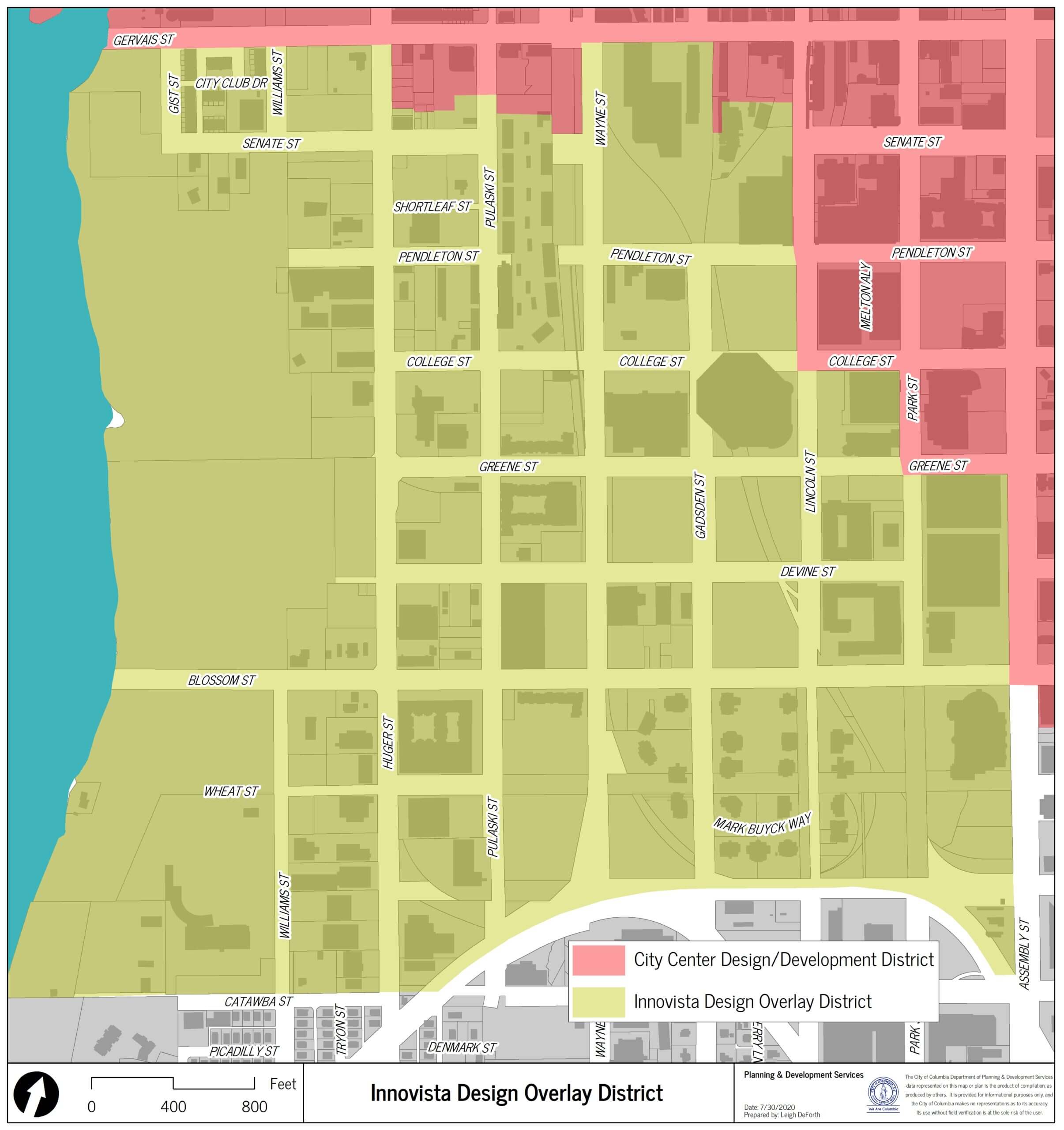
The Innovista Master Plan was a visionary plan designed to create a vibrant, mixed-use urban neighborhood in Columbia, the capital city of South Carolina. The Innovista area, roughly bounded by Gervais to the north, Catawba to the south, Assembly to the east, and the Congaree River to the west, encompasses about a quarter of Columbia’s City Center. The plan was developed to support the continued renaissance of downtown Columbia as well as the emergence of the University of South Carolina as a nationally recognized, comprehensive research university.
At the time of plan development, the existing context of the area was largely undeveloped land, parking lots, and low-density industrial and commercial uses. Design guidelines, developed has part of the public planning process, support the proposed uses, densities, building envelopes, and special districts outlined in the Innovista Master Plan. The guidelines are intended to help new developments meet the principles of pedestrian- friendly, quality urban development. For development applications to be submitted after January 5, 2026, please refer to the Downtown Columbia Design Overlay District.
- Innovista Master Plan
- Innovista Design Guidelines (as amended June 5, 2018)