
Engage with your city!
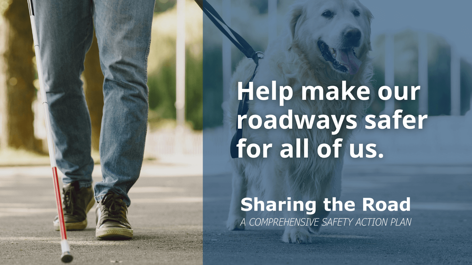
We’re working on a planning process focused on making our roadways safer
Sharing the Road: a Safety Action Plan for the City of Columbia will analyze the safety issues faced by all road users, from our more vulnerable users, like pedestrians and cyclists, to transit riders and personal and commercial vehicle operators. Like any planning process, it will begin with data gathering, using crash data and qualitative feedback to identify the city’s high-injury network and those factors which contribute to making some of our city streets, as coined by Smart Growth America, “dangerous by design.”
Throughout this process, there will be various opportunities to give us your feedback about how our community can collaborate to make our rights-of-way safer for all users.
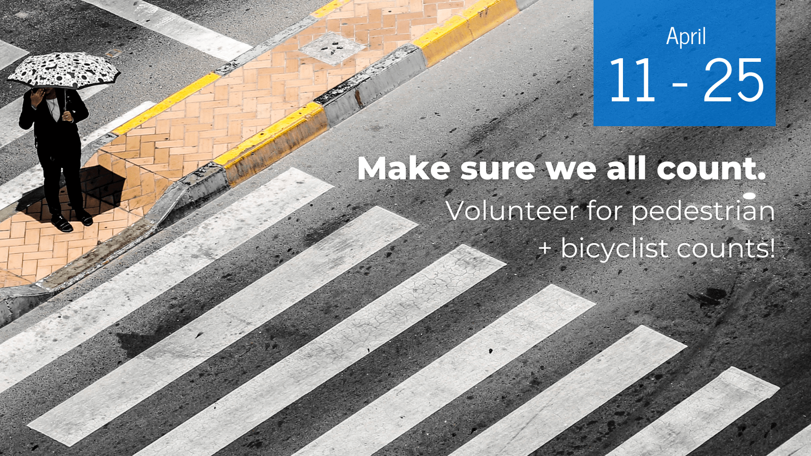
Volunteer to count Pedestrians and Bicyclists this April!
By counting pedestrians and bicyclists, volunteers and city staff help to ensure that all of the City’s residents count: transit riders, pedestrians, and bicyclists are often not accounted for in traffic studies – the same traffic studies used to make important decisions about our City’s landscape. For example, we were able to provide SCDOT and their consultant team with count data and observations from prior counts to help frame the conversation during recent road safety assessments and as part of the ongoing Devine Street corridor feasibility study!
Counts are conducted during a two-hour time period, on a weekend (Saturday from 10am – noon) or weekday (Tuesday, Wednesday, or Thursday from 7:30 – 9:30am). This Spring, we’ll be counting on Saturdays, 10am – 12pm, April 11, 18, and 25 + on Tuesdays, Wednesdays, and Thursdays, 7:30 – 9:30am, April 14-16 and April 21-23. Set aside a couple of hours to volunteer to make sure we all count!!


Congrats to our PARK(ing) Day Design Contest Winners!
Our 10th annual PARK(ing) Day was also a design contest, and the results are in! With a host of fantastic parklets to choose from, the 2025 Juried Best Design Award goes to RocBottom Studios and artists including Keith Tolen, and the 2025 People’s Choice Award goes to Young Office Environments.
PARK(ing) Day is an annual open-source global event where citizens, artists and activists collaborate to temporarily transform on-street parking spaces into “PARK(ing)” spaces: temporary public places. Always the third Friday in September, this will be our tenth year temporarily transforming Downtown Columbia!

Thank you for taking the time to provide your input on the future redevelopment of the (former) I-277 ROW!
We appreciate all of you who took the time to share your vision for the former I-277 corridor! Our team heard so many great ideas, and in addition to the high-level concepts presented on the second night, we anticipate being able to share out a report in the near future that will help inform the future development process.
In the meantime, you can find out more about the project, and view meeting photos, by visiting the project page.
Stay tuned to Columbia Compass emails for updates, too – sign up here if you don’t already receive them.
Williams Street Extension Project Informational Meeting
We hope you were able to join us on Monday, June 16th from 4:00 – 6:00 PM at Stormwater Studios for an informational meeting about the Williams Street extension! This drop-in format meeting provided attendees with updates on the project, including the anticipated timeline, multimodal design considerations, environmental impacts, and more.
As the City and consultant team worked to fine-tune the design details after receiving feedback at the public meeting, and the project will be bid using the City’s procurement system.
About the Williams Street Project
This new street connection from Blossom Street to Senate Street will also connect back into the City’s street grid, providing multimodal connections westward past Huger Street.
Downtown Strategic Plan + Guidelines
Our streets are our most important public spaces in downtown; they are much more than thoroughfares for cars- sidewalks are where the City comes alive. The design of public infrastructure – streets, sidewalks, trees, and lighting is important, but even the most beautifully designed streets need people to become vibrant. Residential density, a mix of uses, and the design of buildings along the sidewalks are the key elements to creating a consistent urban fabric that enables and encourages people to walk between destinations rather than to drive and park short distances. Urban design guidelines help to shape these elements to ensure they contribute positively to the public realm.
We recently wrapped up a strategic planning process for downtown Columbia to articulate a current vision for the future development of the downtown area, and we hope you took part in the process! The plan focuses on high-quality public space that prioritizes pedestrian activity, a dynamic public realm, and fosters urban living and economic development. The plan has also helped determine how to best update and streamline the urban design guidelines for downtown. Both the plan and guidelines were adopted by City Council on June 24, 2025; visit the project page to learn more.
River Drive Buffered Bike Lanes
SCDOT completed the installation of buffered bike lanes on River Drive, between Main and Sunset, in early November 2024. Read the City’s press release here.
ABOUT THE PROJECT
SCDOT began resurfacing River Drive in February 2024 as part of their regular maintenance schedule. The City of Columbia’s Walk Bike Columbia Pedestrian and Bicycle Master Plan, adopted in 2015, recommended buffered bicycle lanes on River Drive between Sunset and Main Streets.
The resurfacing project provided the opportunity to restripe the corridor, delineating 11’ wide traffic lanes that provide space on either side of the street adjacent to the curb for the addition of buffered bicycle lanes as recommended by the plan. The reduction of lane widths to a standardized width decreases speeding. The lane reconfiguration did not reduce the number of vehicular travel lanes.
These are the first buffered bicycle lanes installed in the City. The route provides critical connectivity between the Vista Greenway extension, currently in design, and neighborhoods in north Columbia as well as Broad River Road and the Three Rivers Greenway. Active transportation routes provide alternatives for shorter trips that reduce traffic congestion.