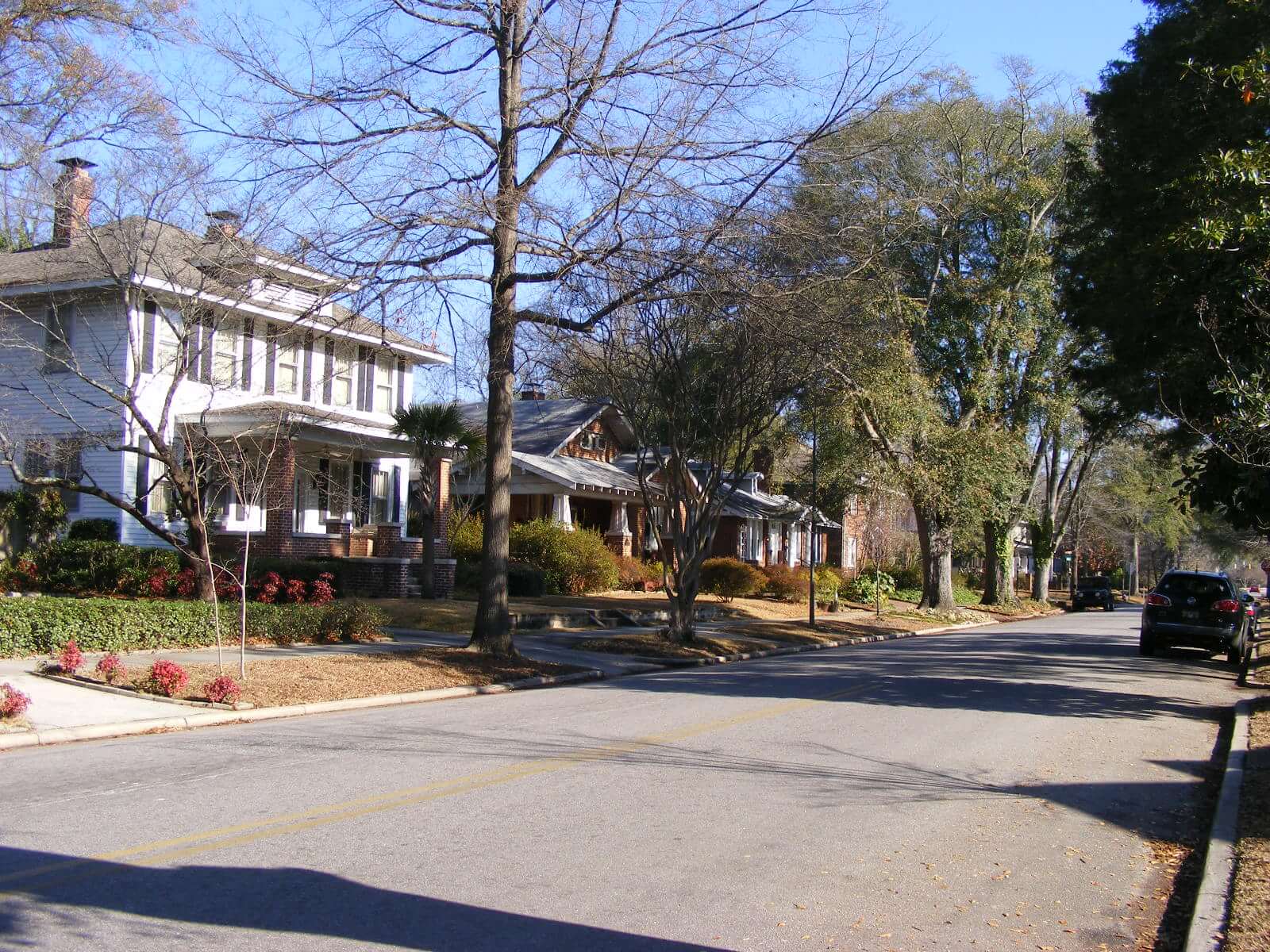
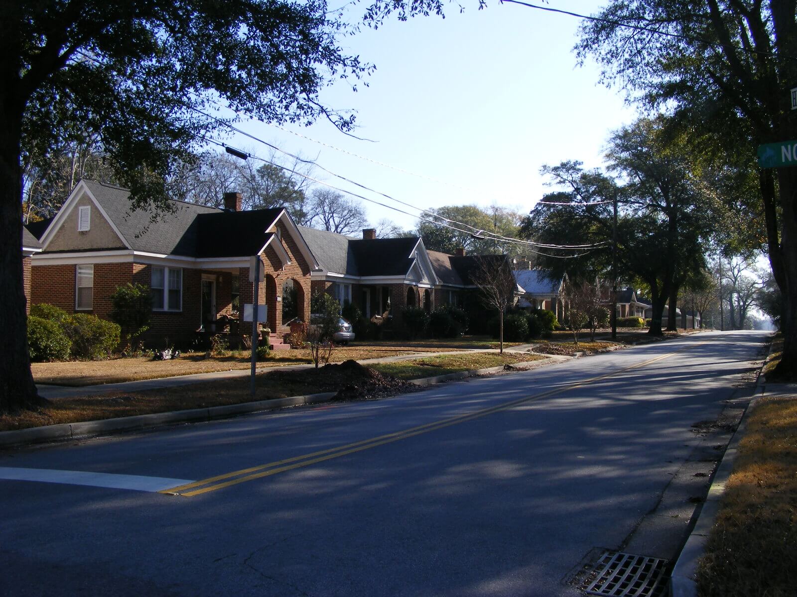
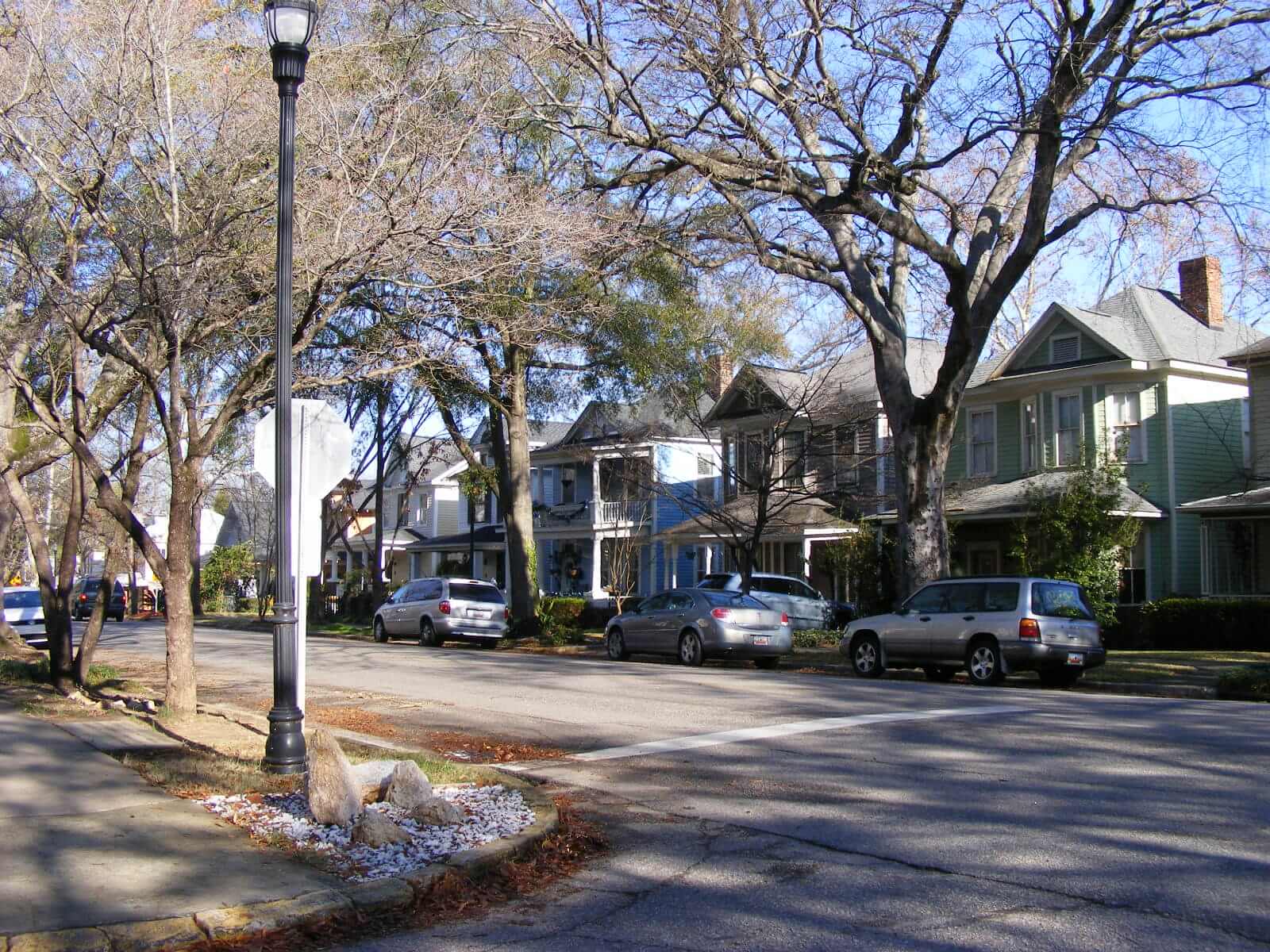
Preservation Districts
Information regarding each of the City’s Preservation Districts is provided below in alphabetical order by district. This listing includes the 15 Historic Districts and the five Community Character Districts.
A map of the Urban Design and Historic Preservation districts is available here. In addition to those districts listed below, there are individual buildings and sites which have been locally-designated as landmarks, and these individual landmarks are reviewed here.
- Cottontown/Bellevue Architectural Conservation District
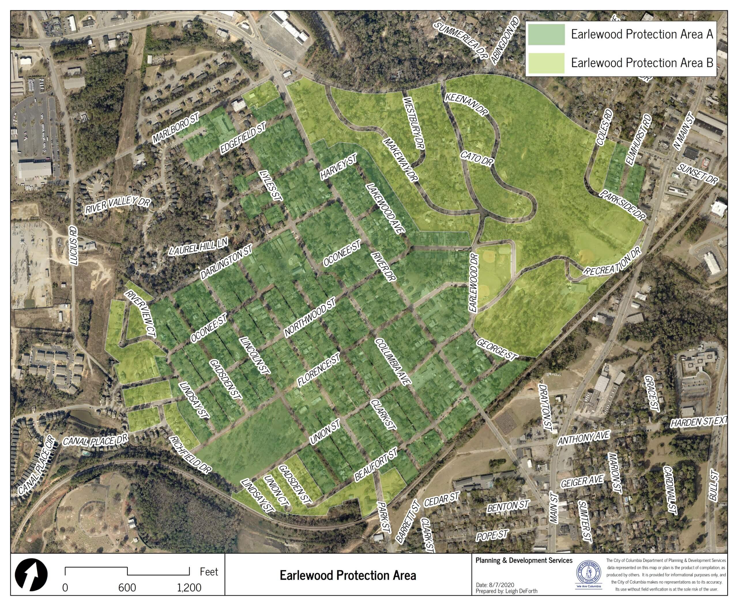
- Earlewood Protection Area A& B
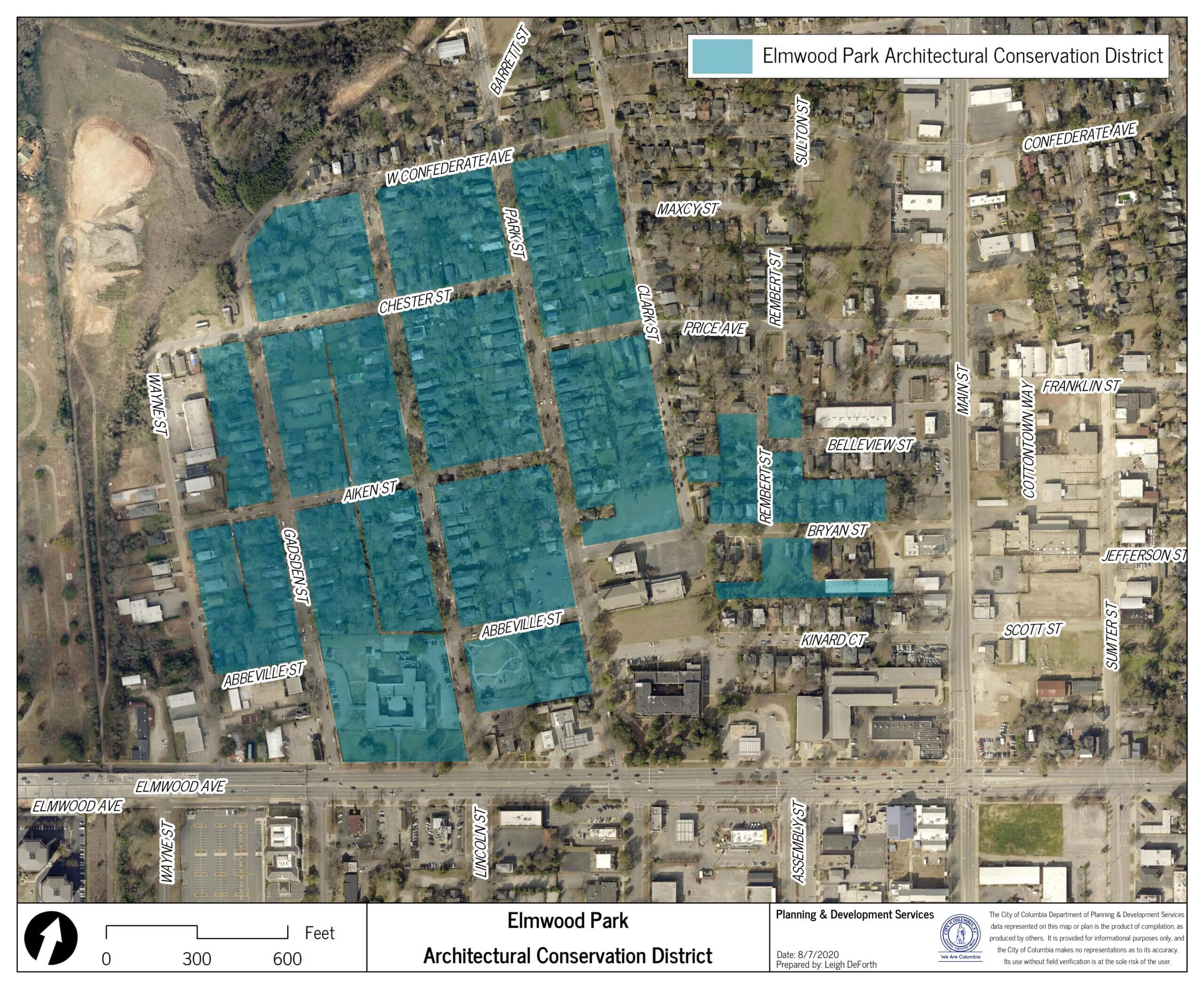
- Elmwood Park Architectural Conservation District
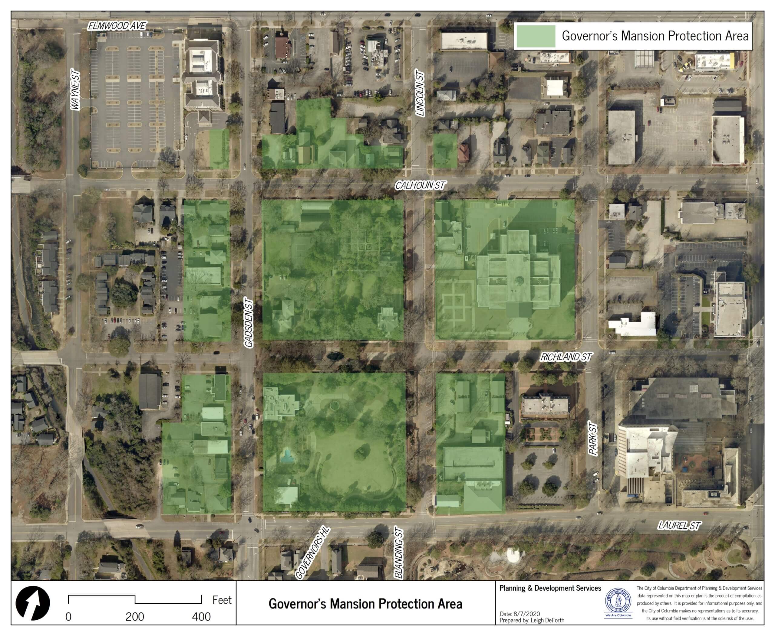
- Governor’s Mansion Protection Area
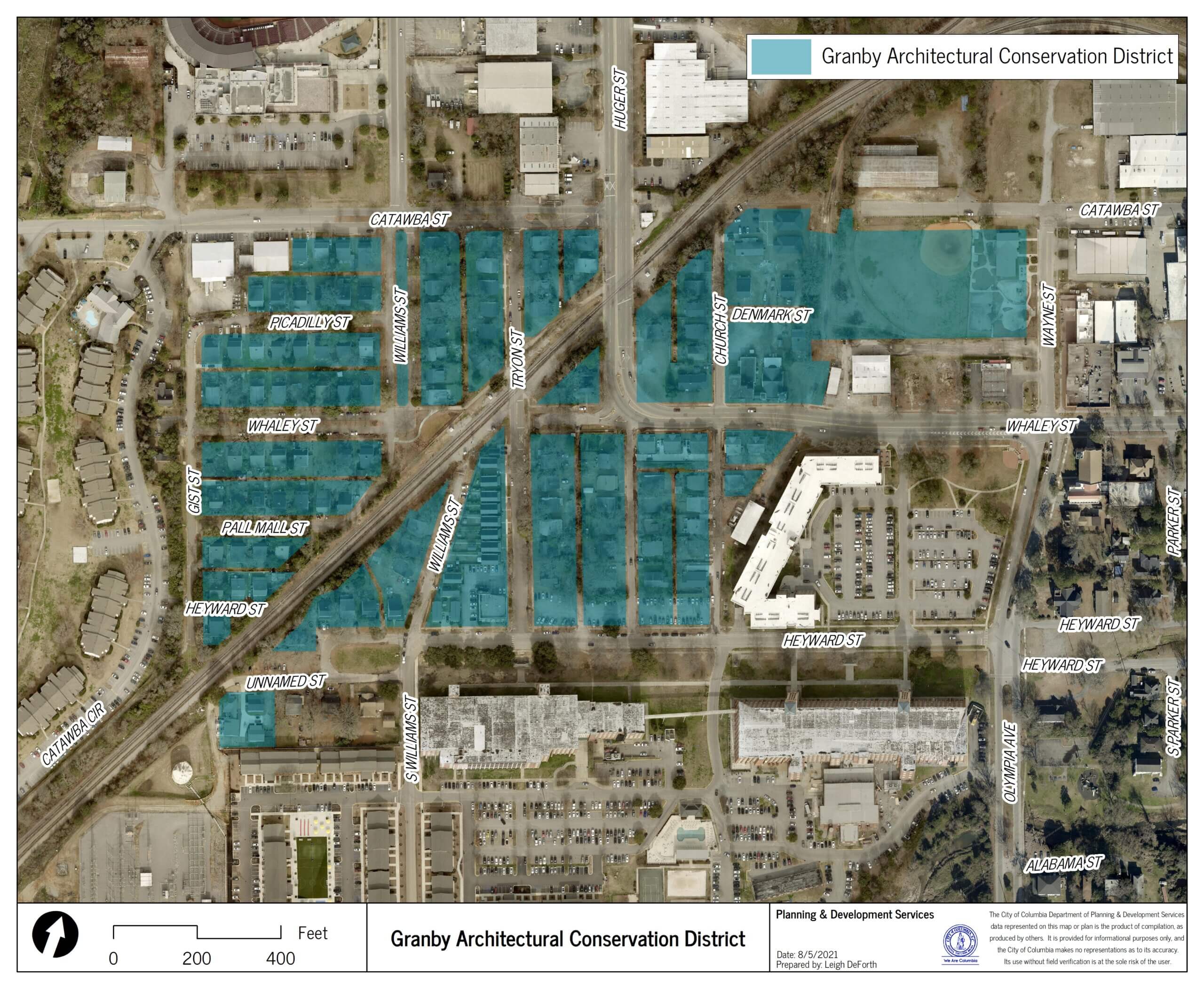
- Granby Architectural Conservation District
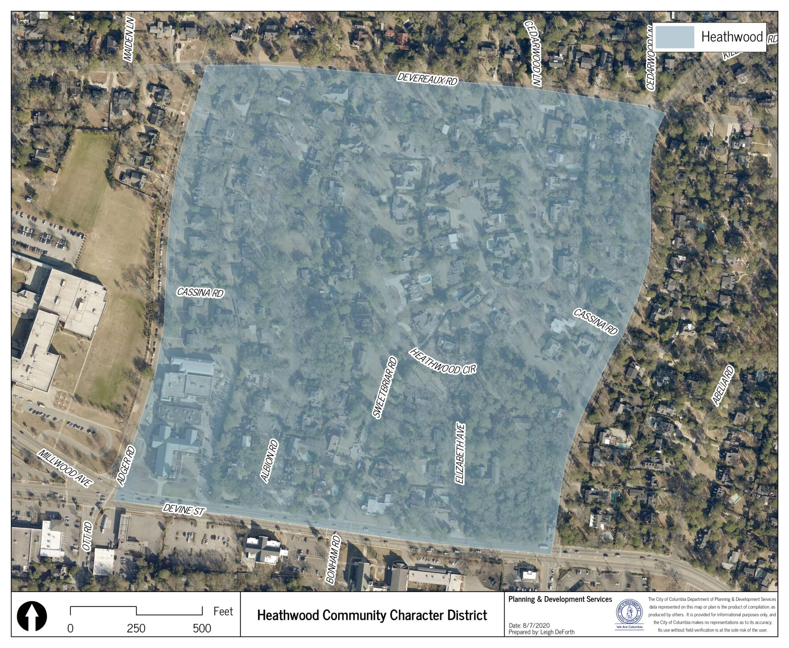
- Heathwood Community Character Area
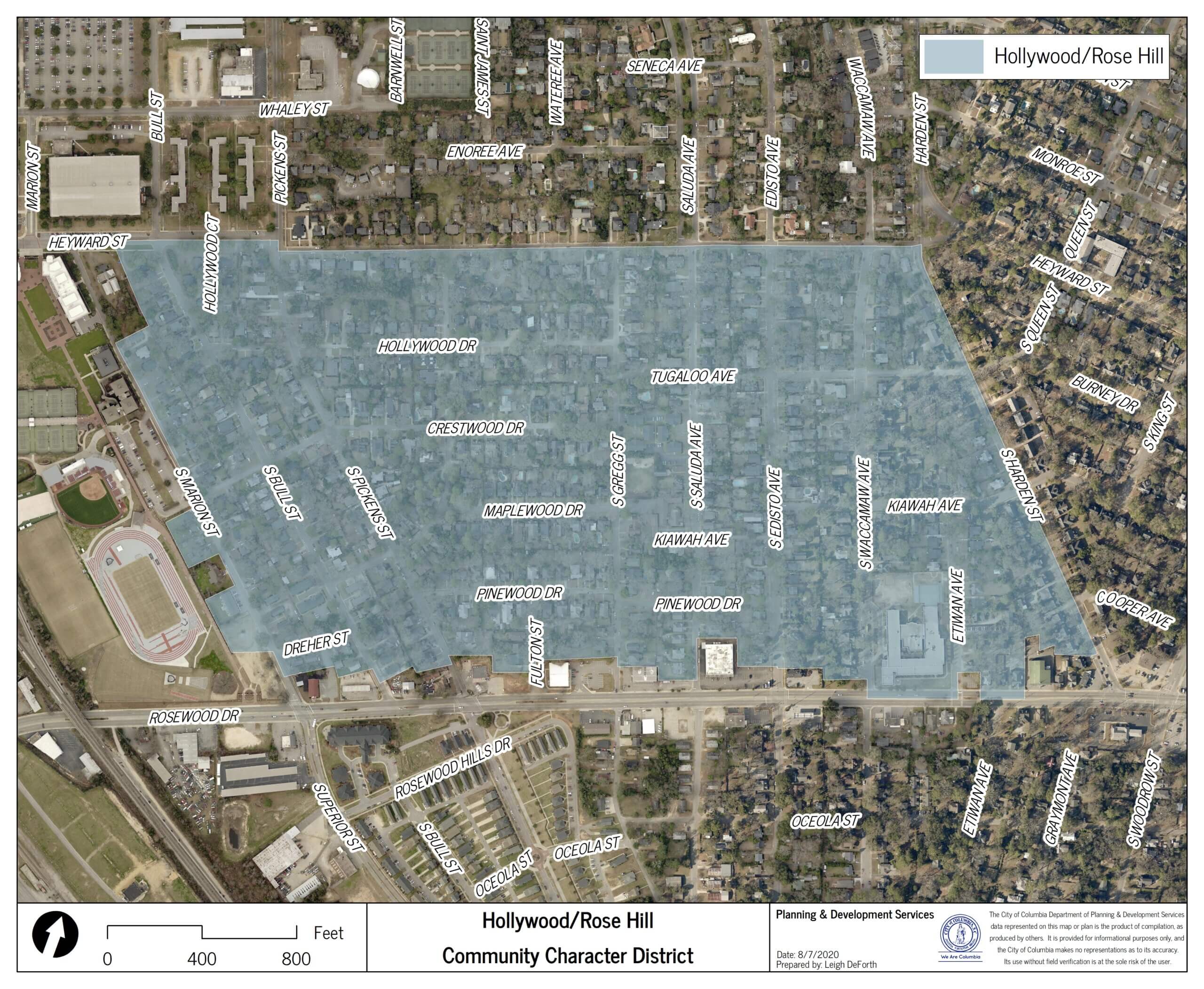
- Hollywood-Rose Hill Community Character Area
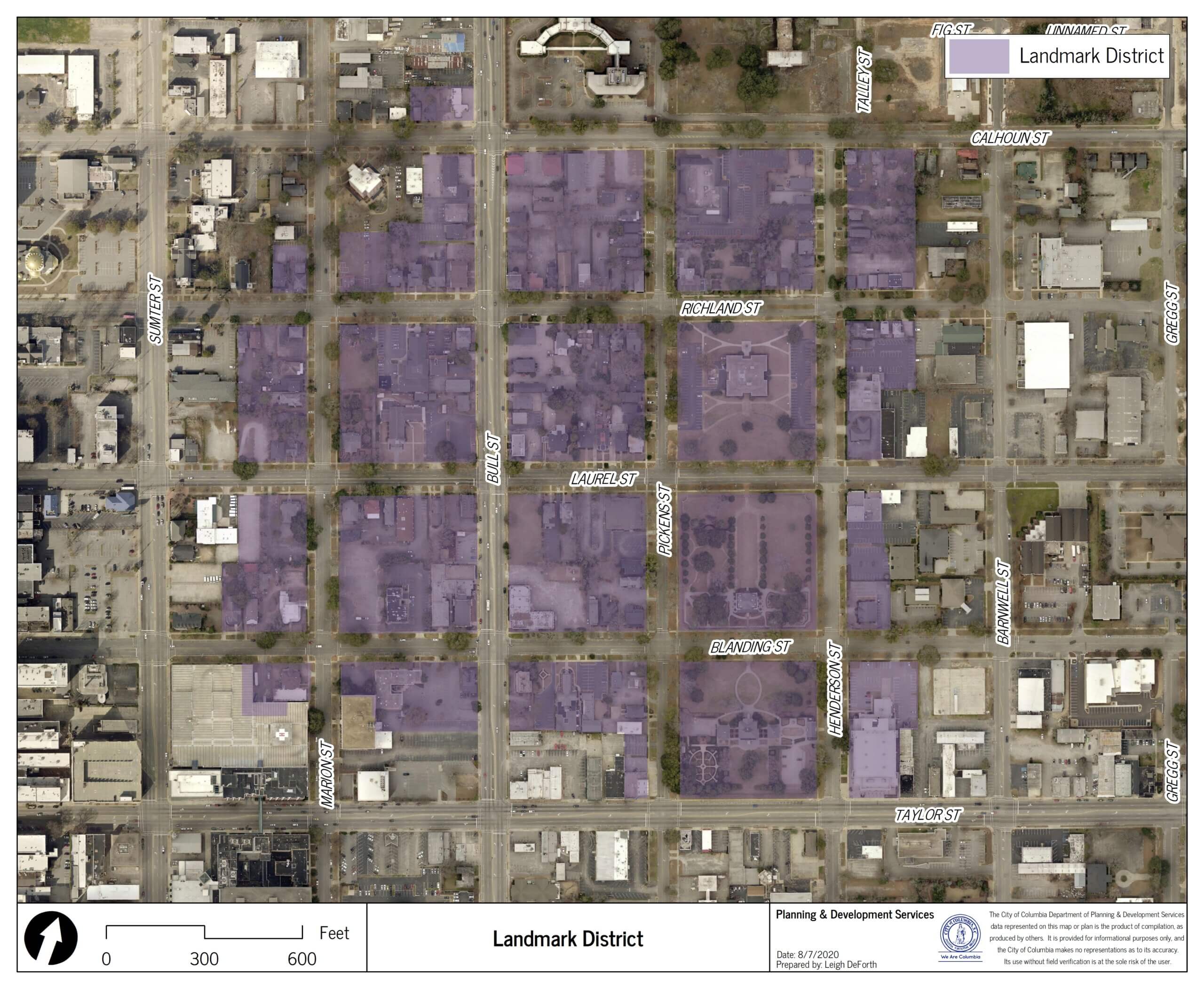
- Landmark District
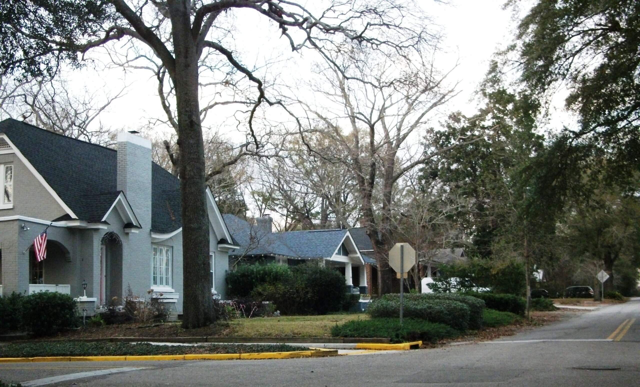
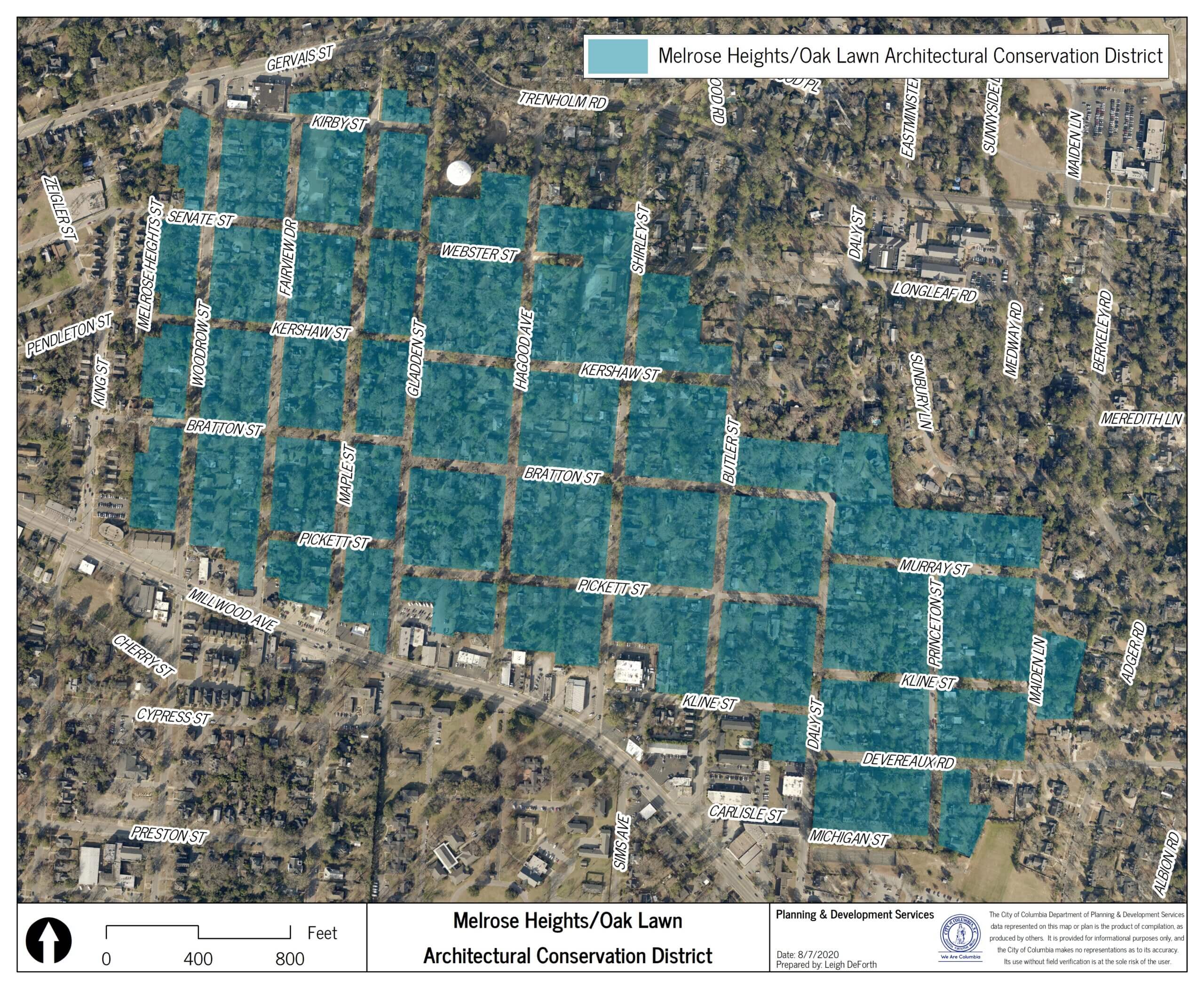
- Melrose Heights/Oak Lawn Architectural Conservation District
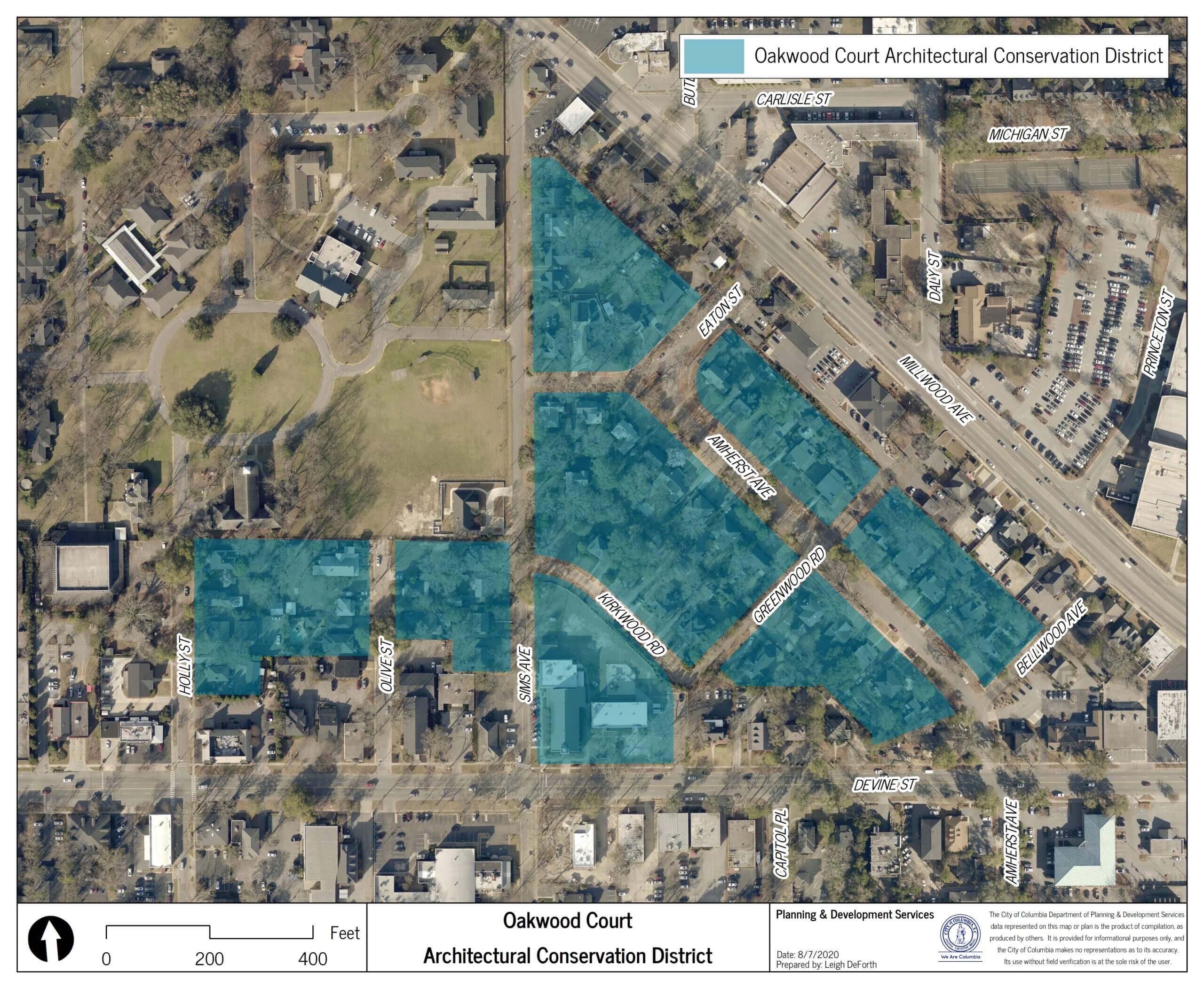
- Oakwood Court Architectural Conservation District
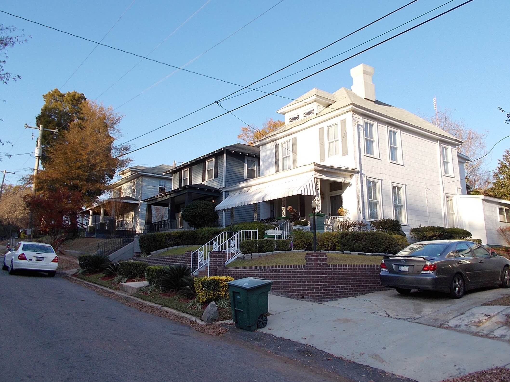
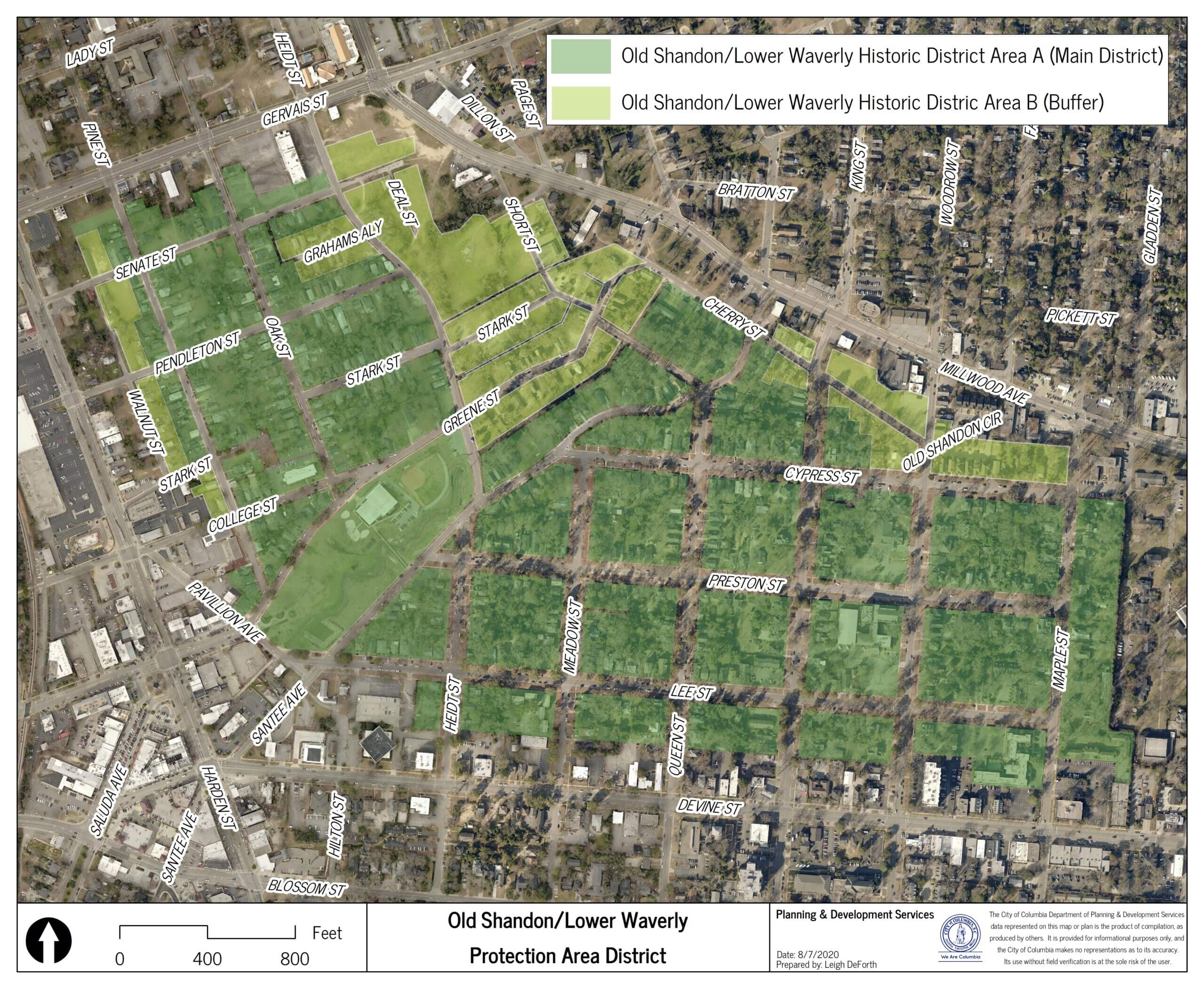
- Old Shandon/Lower Waverly Protection Area A & B
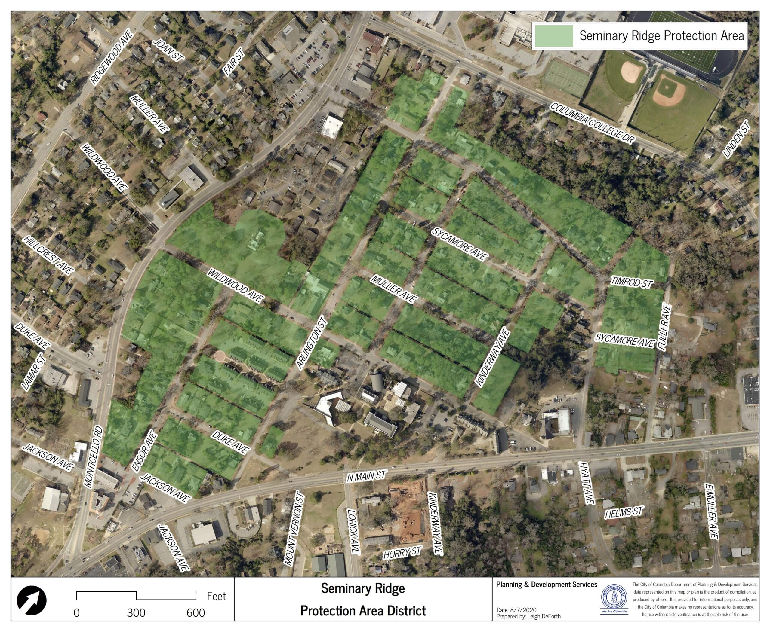
- Seminary Ridge Protection Area
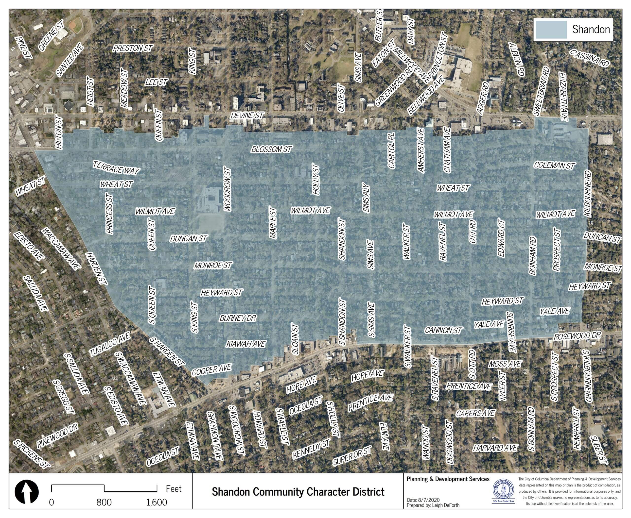
- Shandon Community Character Area
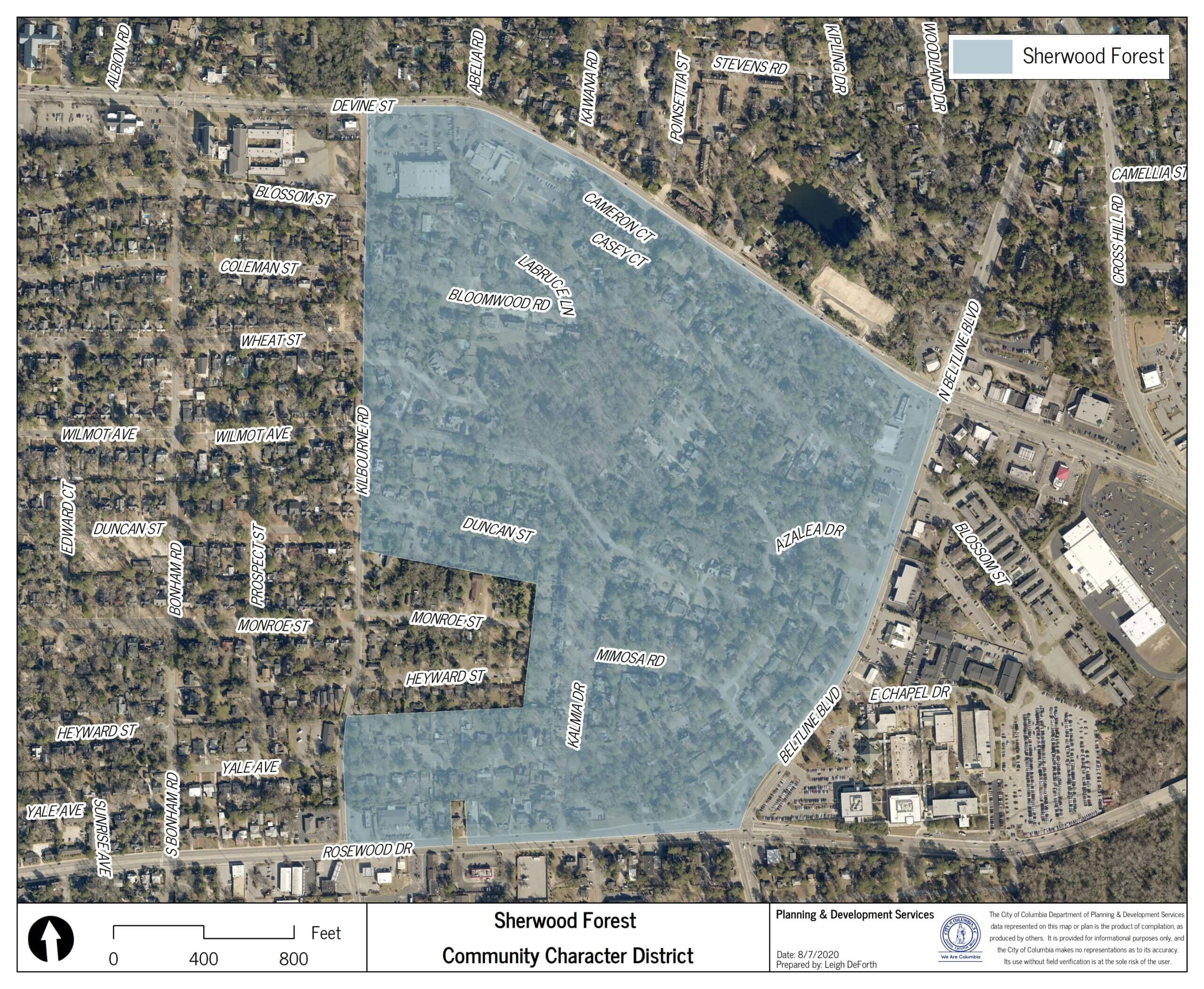
- Sherwood Forest Community Character Area
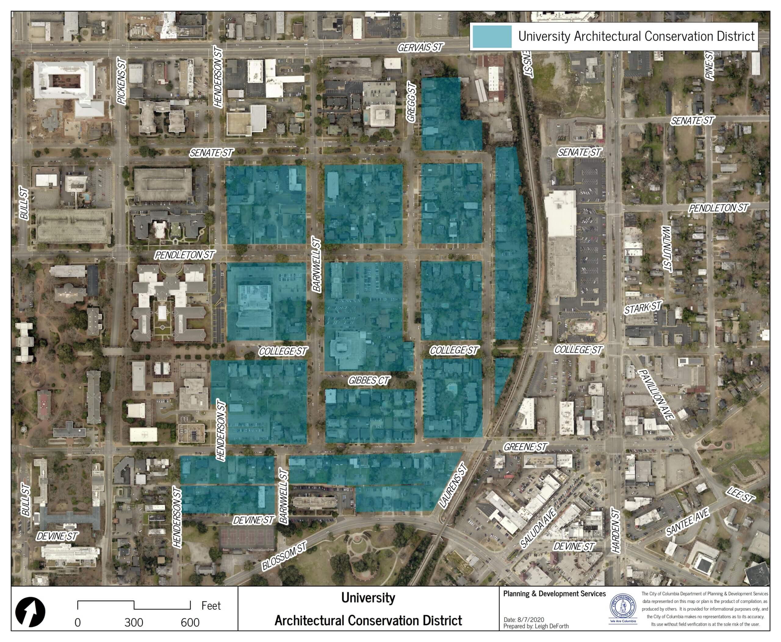
- University Architectural Conservation District
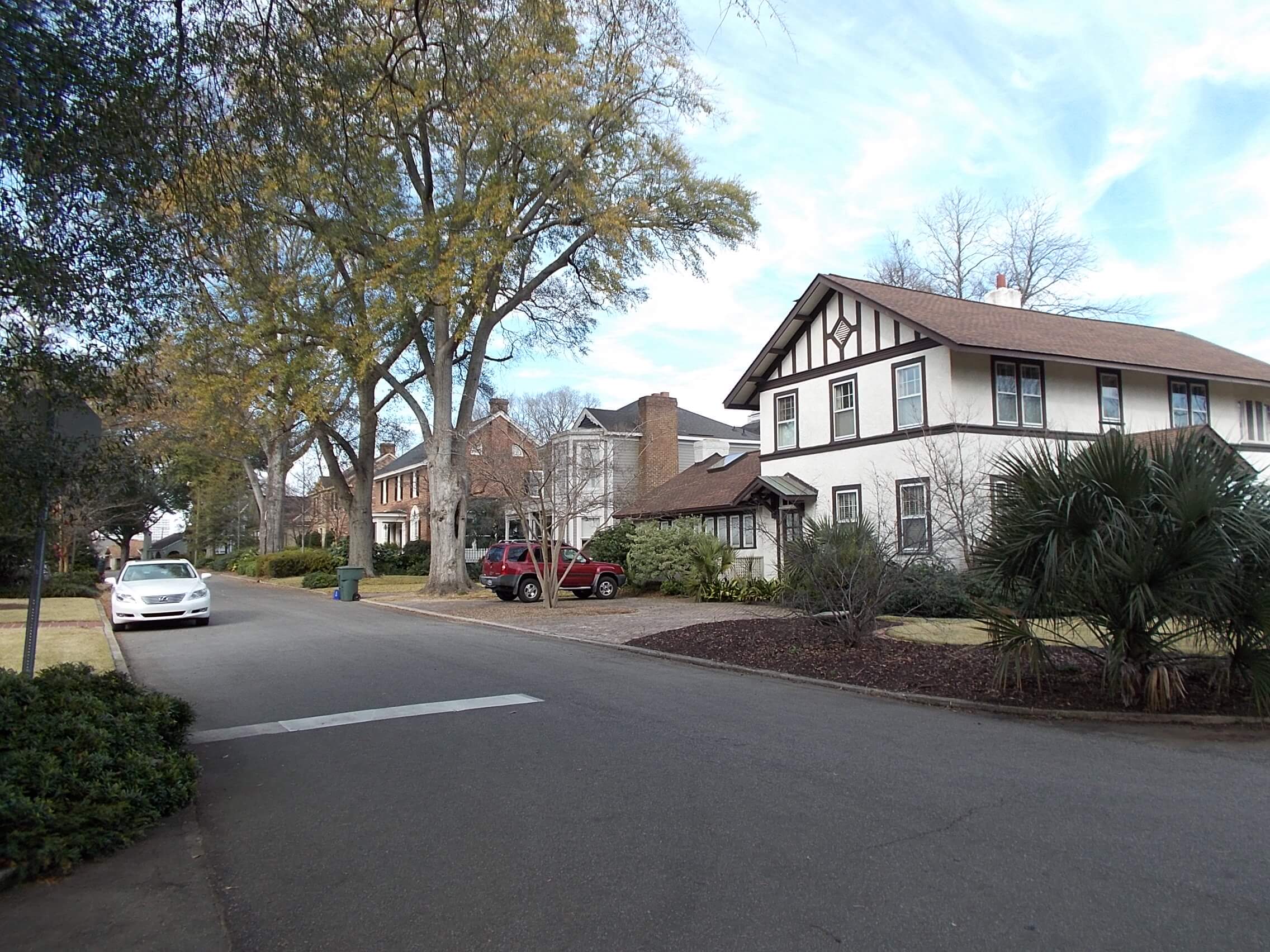
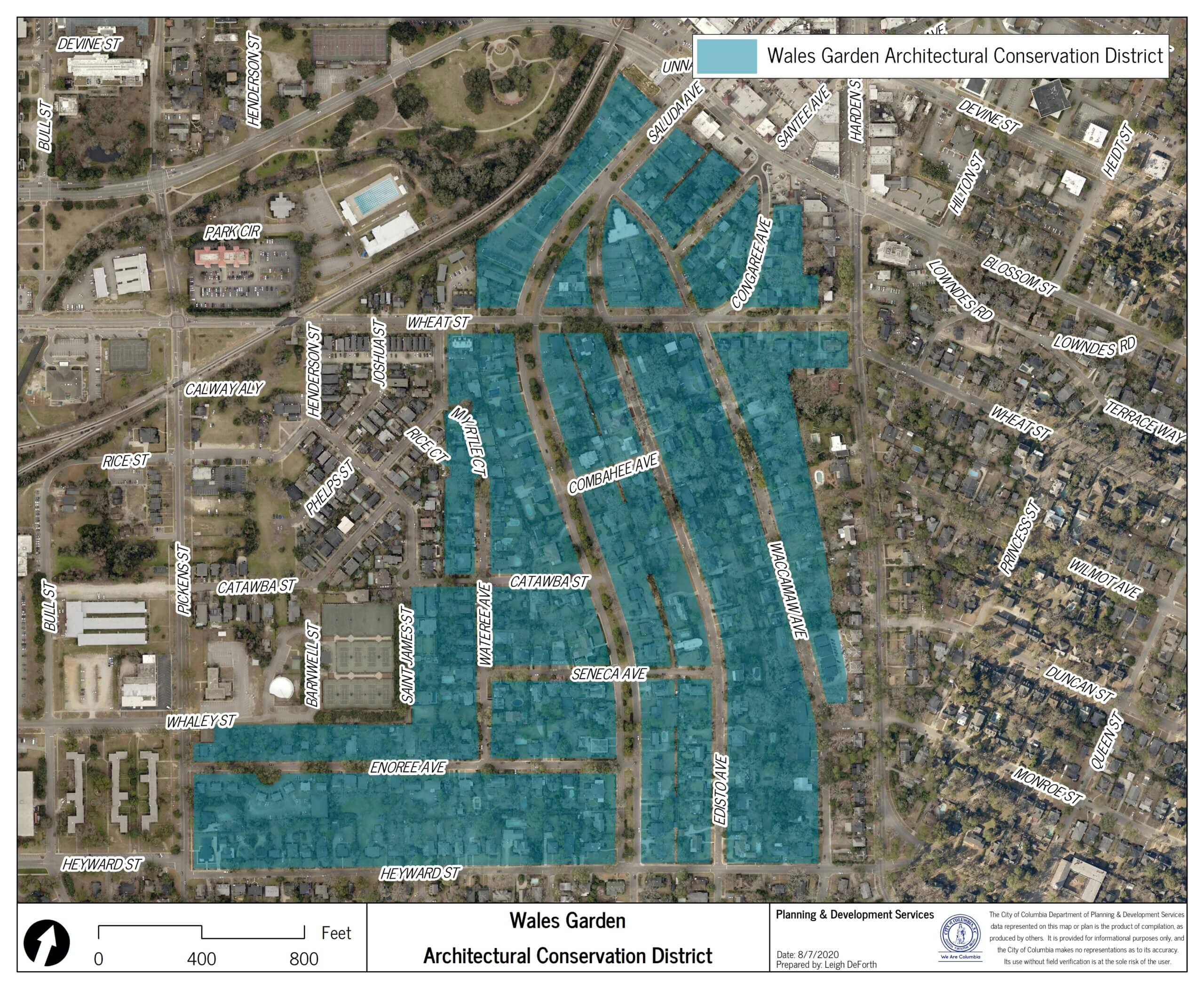
- Wales Garden Architectural Conservation District
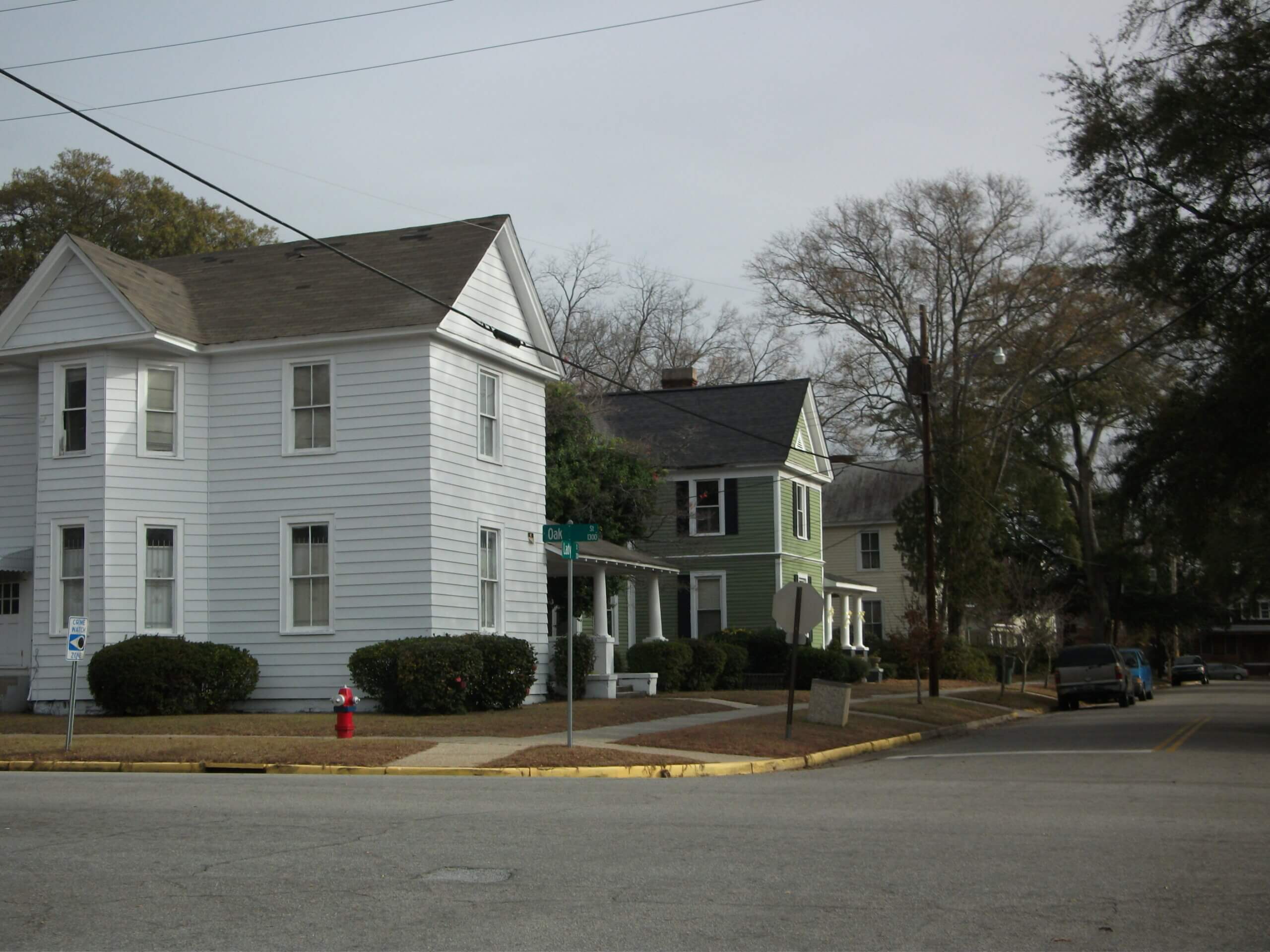
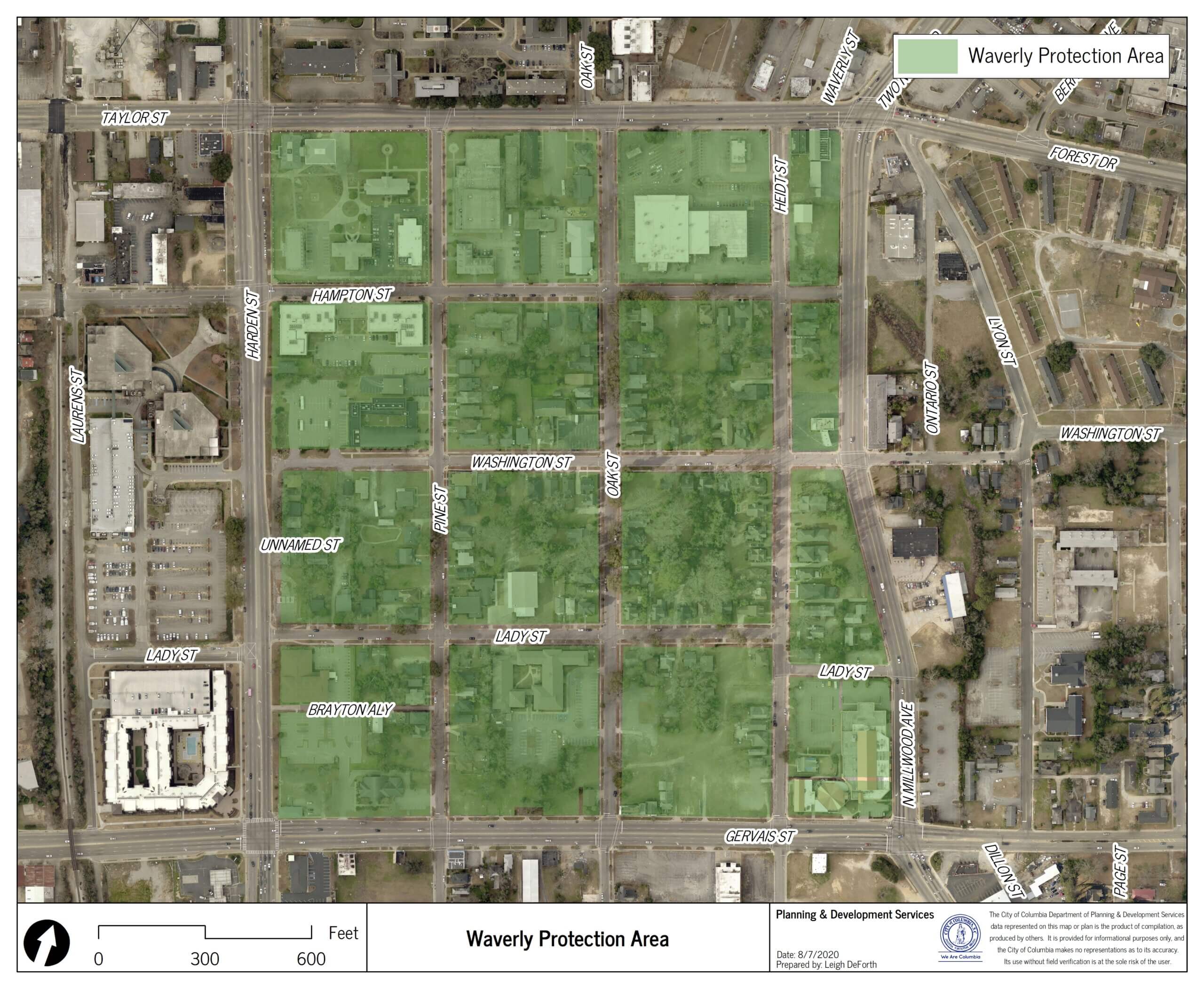
- Waverly Protection Area
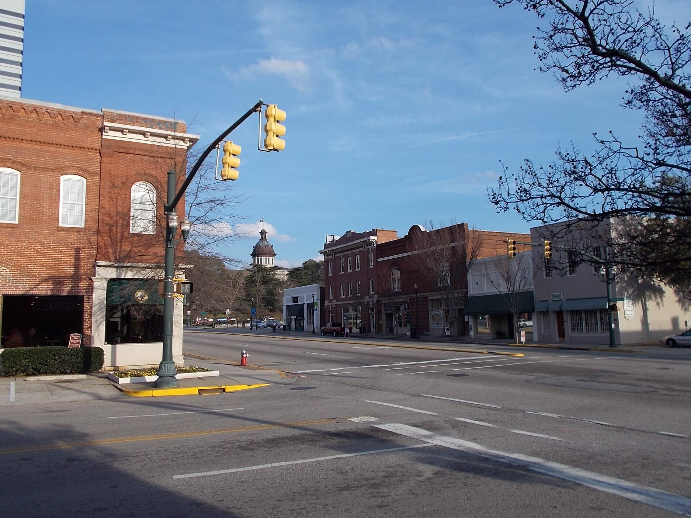
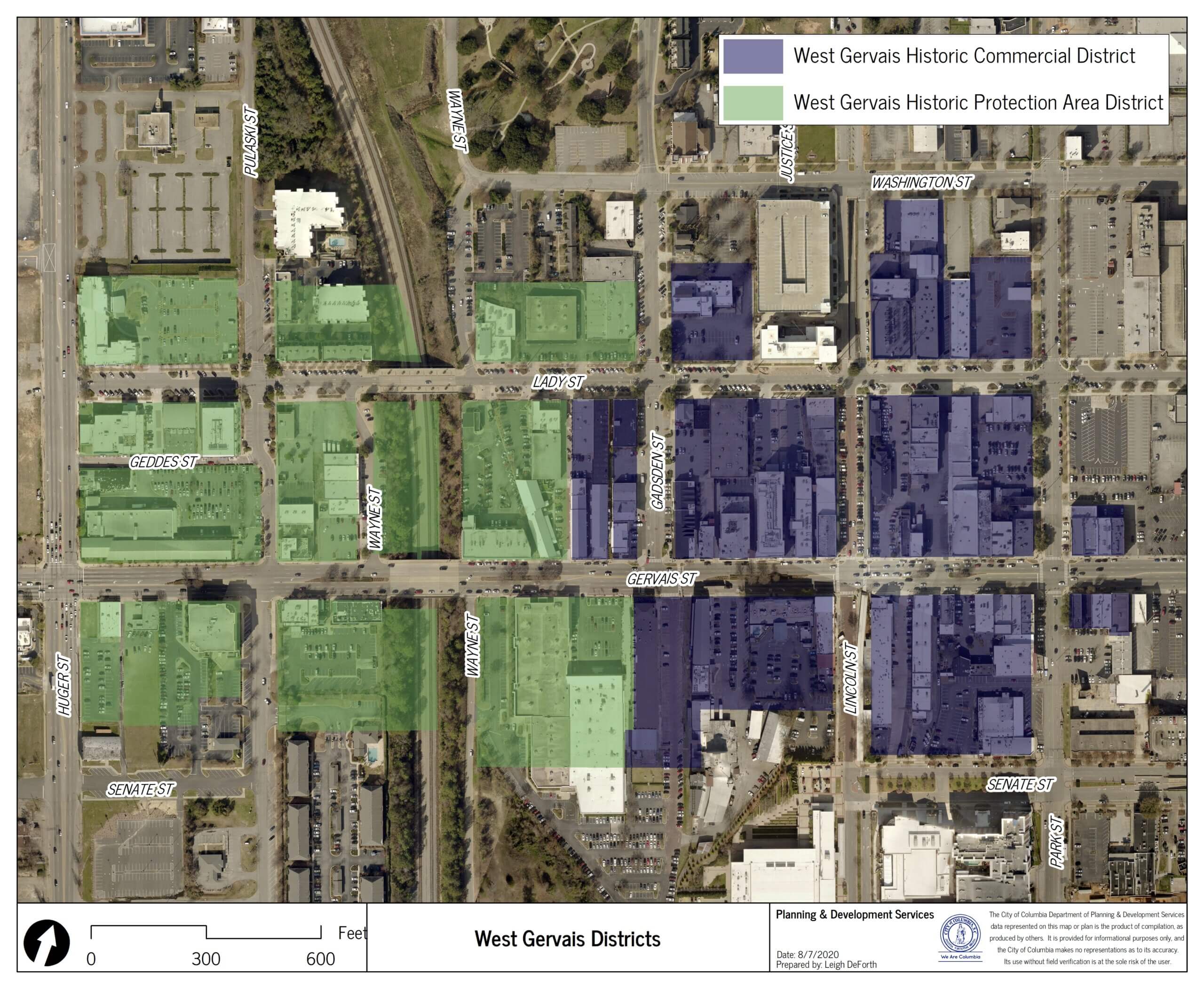
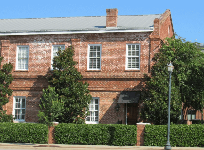
- West Gervais Street Historic Commercial District & West Gervais Protection Area
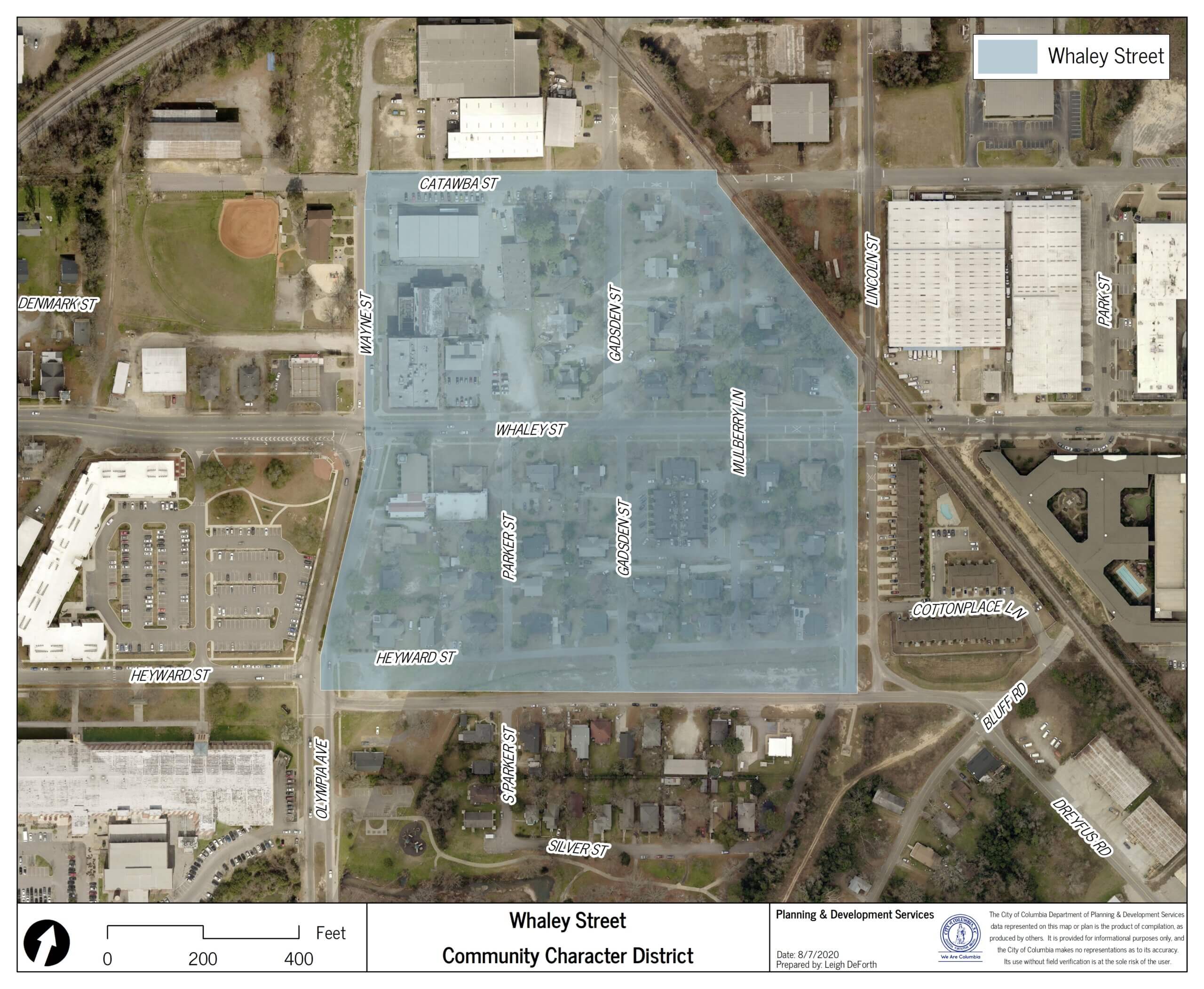
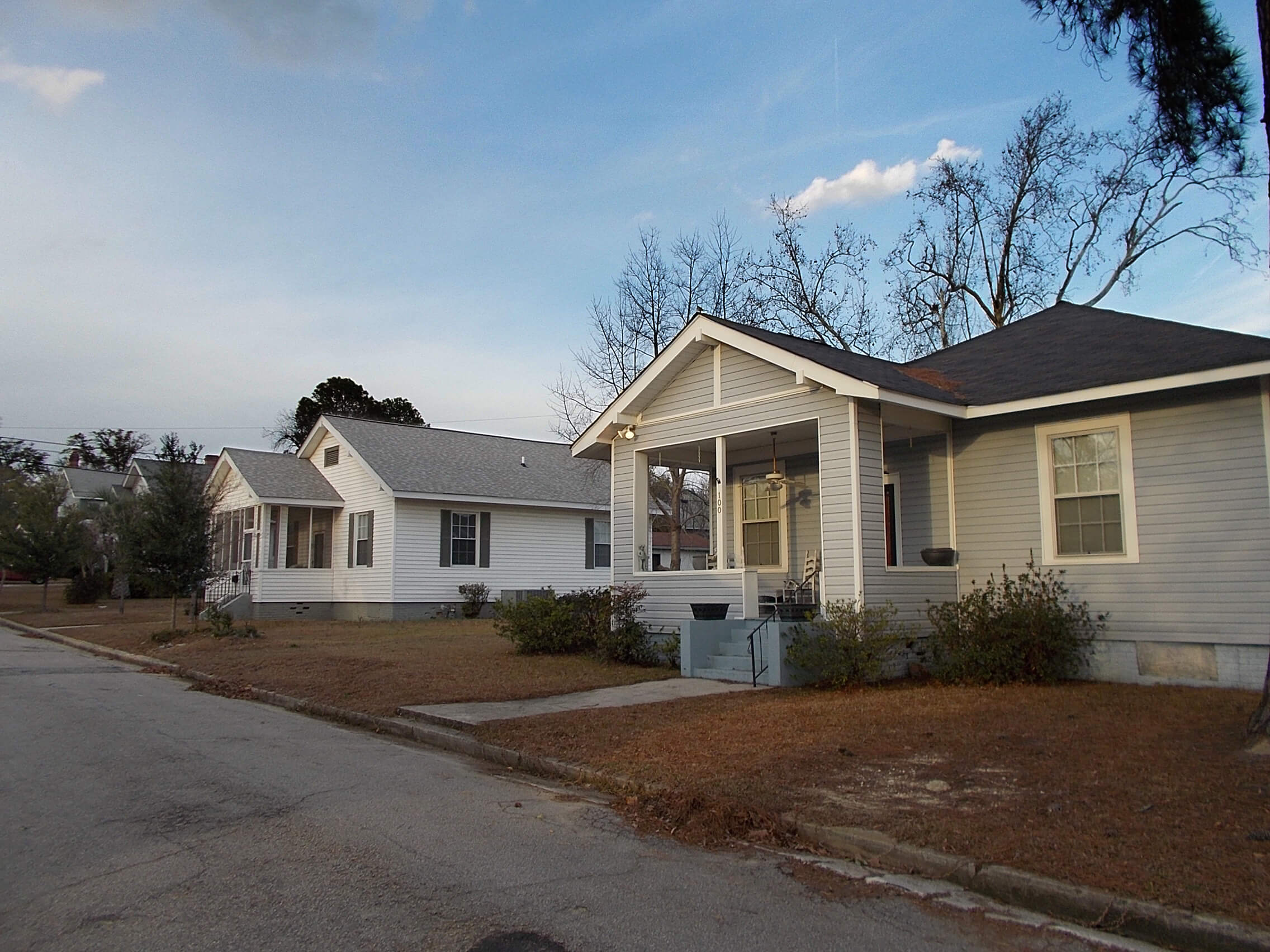
- Whaley Street Community Character Area
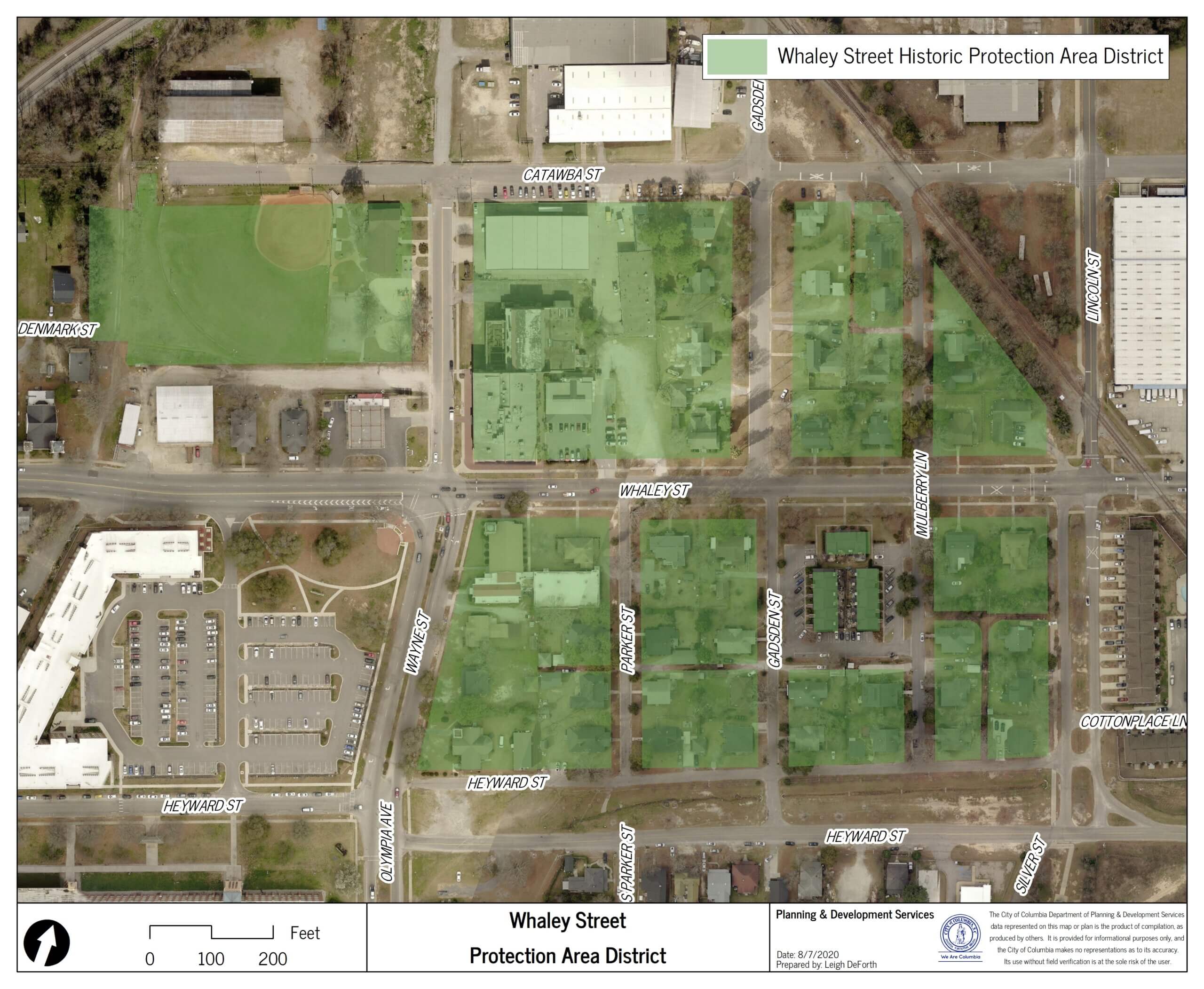
- Whaley Street Protection Area